Your support helps us to tell the story
From reproductive rights to climate change to Big Tech, The Independent is on the ground when the story is developing. Whether it’s investigating the financials of Elon Musk’s pro-Trump PAC or producing our latest documentary, ‘The A Word’, which shines a light on the American women fighting for reproductive rights, we know how important it is to parse out the facts from the messaging.
At such a critical moment in US history, we need reporters on the ground. Your donation allows us to keep sending journalists to speak to both sides of the story.
The Independent is trusted by Americans across the entire political spectrum. And unlike many other quality news outlets, we choose not to lock Americans out of our reporting and analysis with paywalls. We believe quality journalism should be available to everyone, paid for by those who can afford it.
Your support makes all the difference.Read more
Britain is poised for a sweltering bank holiday weekend, as temperatures could reach 30C, before the remnants of Hurricane Erin bring wind, rain and big waves to the coast.
The Met Office says warm, sunny spells are expected over the weekend, hitting a peak on Monday, before Erin will bring more unsettled weather.
The RNLI has advised beachgoers to seek out lifeguarded areas and remain vigilant in rough seas.
Met Office meteorologist Craig Snell said: “It’s looking fairly fair, it’s going to turn increasingly warm, the warmest day is going to be Monday.
“Each day, there will be more sunshine developing.”

open image in gallery
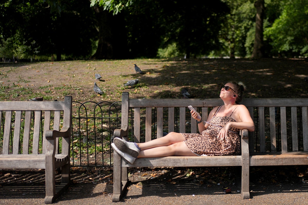
At last, a Bank Holiday weekend with good weather (PA)
Saturday will be a mix of cloud and sunshine, with some showers breaking out in Northern Ireland, western parts of Scotland and northwest England, the forecaster said.
A maximum temperature of 24C is expected.
Sunday will be a mix of cloud and sunshine again, but possibly sunnier than Saturday, with the risk of a few showers around northern and western parts of Scotland, Mr Snell said.
It will be a degree or two warmer than Saturday, then the sunshine will be more widespread on Monday with maximum temperatures of 29C or even 30C.
The fine weather will end on Monday, and more unsettled conditions are expected for next week.
The remnants of Hurricane Erin will bring a return of some rain, the forecaster said.
open image in gallery
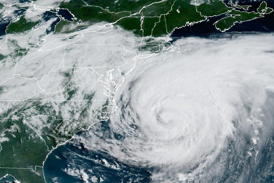
Hurricane Erin off the east coast of the US earlier this week (NOAA)
Mr Snell said: “It does stay for most of next week to the north west of the UK, so really strong winds stay offshore, the main impacts for us is it will bring a return of some rain.
“From Tuesday onwards, some of the rain will be heavy, so we’ll keep an eye on that. Temperatures return back down to average, low 20s in the south.
“It will be a little bit blustery. There will be some larger waves towards the western coasts.
“If you are planning to head towards the beach early next week, stay up to date with forecasts on our website… and keep up to date with the RNLI.”
Chris Cousens, RNLI water safety lead, said: “We want people to enjoy the bank holiday and stay safe, and with this unusually big surf forecast for this time of year likely to peak later in the bank holiday weekend and early next week, it’s important for people to be aware so they can keep themselves and their families safe.
“Big surf means greater risk from rip currents and the swell also coincides with spring tides – which means more powerful tidal water movement at greater speed.
“The forecast is changeable, so things might look different over the next couple of days. But we do know that with the current forecast for bigger waves building and arriving towards the end and the day after the August bank holiday weekend, beaches are likely to be busy with holidaymakers and locals.
“Some places could see bigger waves building through the weekend too. We always advise people to visit a lifeguarded beach where possible – but we also appreciate people will be out on the coast where lifeguards are not present.
“Rip currents are powerful channels of water that become more powerful in larger surf. They are also found around river mouths, estuaries and man-made structures like piers and groynes.
“Our rip current advice is the same whether you are at a lifeguarded beach or not. If you find yourself caught in a rip current don’t fight against it or you’ll get exhausted.
“If you can stand, wade back to shore, or swim parallel to the beach until you’re free of the current, then return to the beach. Alternatively, if you can’t do either of those or are becoming exhausted, Float to Live to preserve your energy and then wave and shout for help.”