Scots are being told to say goodbye to their summer clothes as the last week of August is set be a washout.
15:34, 24 Aug 2025Updated 15:35, 24 Aug 2025
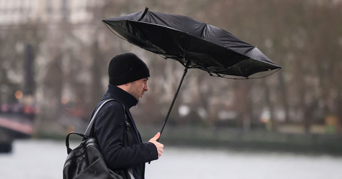
 Forecasters are predicting the end of August to be a washout.(Image: Leon Neal/Getty Images)
While Scots have enjoyed a fair bit of hot weather this summer, with temperatures reaching as high as 30C degrees in certain areas, it sadly seems that the last day of summer has arrived.
With the tail end of Hurricane Erin looking like it will bring a ‘590-mile wall of rain’ to the UK, now is probably the best time to dig out the trusty old umbrella and start packing away the summer gear.
Scots still have a day to prepare as the Met Office is predicting highs of 24C on Monday in Edinburgh, Perth and Aberlour. However, once Tuesday hits, it seems that the last week of August will be a washout, reports the Scottish Daily Express.
The Met Office’s current report for Tuesday 26 to Thursday 28 states: “Change to more unsettled weather with periods of rain, heavy at times, interspersed with some sunshine. Often breezy. Temperatures generally lowering, though still warm in the east on Tuesday.”
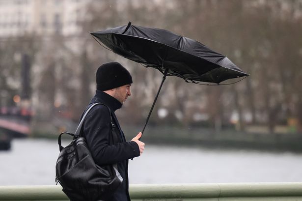
 The last day of summer is expected to be Monday with highs of 24C.(Image: Ken Jack/Getty Images)
This shift back to ‘typical’ Scottish weather is due to Hurricane Erin, which has caused severe flooding in some parts of the United States. At its most powerful, wind speeds were recorded to hit a terrifying 100mph.
Thankfully as it makes its way across the Atlantic ocean, the wind speeds are said to greatly reduce. On the plus side, this storm has been helping draw up warm air, which has lead to Scotland’s recent heatwave.
However, its low pressure system will end up causing the shift in Scotland’s weather, with forecasters predicting showers and longer spells of rain from Monday evening onwards.
A new weather map from WXCharts now suggests that a massive 590-mile wall of rain will bring the end to summer, leaving the entire UK in a washout for the remainder of August.
The map suggests that winds up to 30km/hour and heavy rainfall will begin to take effect from the early hours of Friday, August 29.
Stretching all the way from Mull in the west of Scotland to Dover on the south coast of England, this blanket of rain is said to hit Scotland the worst on Friday at 12pm, with rainfall exceeding 10mm per hour.
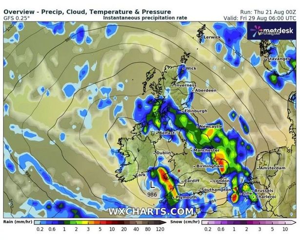 The UK is expected to be hit with a 580-mile wall of rain.(Image: WXCharts)
Northern Scotland is also expected to see lows of 7C on August 29, while the rest of the UK could see temperatures drop to below 10C.
The Met Office’s long range forecast for August 28 to September 6 says: “Low pressure is expected to largely dominate through this period, bringing bands of rain or showers to most if not all parts from time to time.
“Some heavy rain is possible at times, especially in the west, but this possibly occurring more widely at times. Periods of windier weather are also likely.”
 Join the Daily Record WhatsApp community!
Get the latest news sent straight to your messages by joining our WhatsApp community today.
You’ll receive daily updates on breaking news as well as the top headlines across Scotland.
No one will be able to see who is signed up and no one can send messages except the Daily Record team.
All you have to do is click here if you’re on mobile, select ‘Join Community’ and you’re in!
If you’re on a desktop, simply scan the QR code above with your phone and click ‘Join Community’.
We also treat our community members to special offers, promotions, and adverts from us and our partners. If you don’t like our community, you can check out any time you like.
To leave our community click on the name at the top of your screen and choose ‘exit group’.
If you’re curious, you can read our Privacy Notice.
However, forecasters did add: “Confidence in the details remains on the low side, something not untypical at this time of year, largely due to the potential for further systems to develop in the tropical Atlantic, which can have profound knock-on effects on the weather patterns upstream of and over the UK.
“Temperatures should generally be around average, likely with some day to day oscillation, depending on sunshine amounts.”