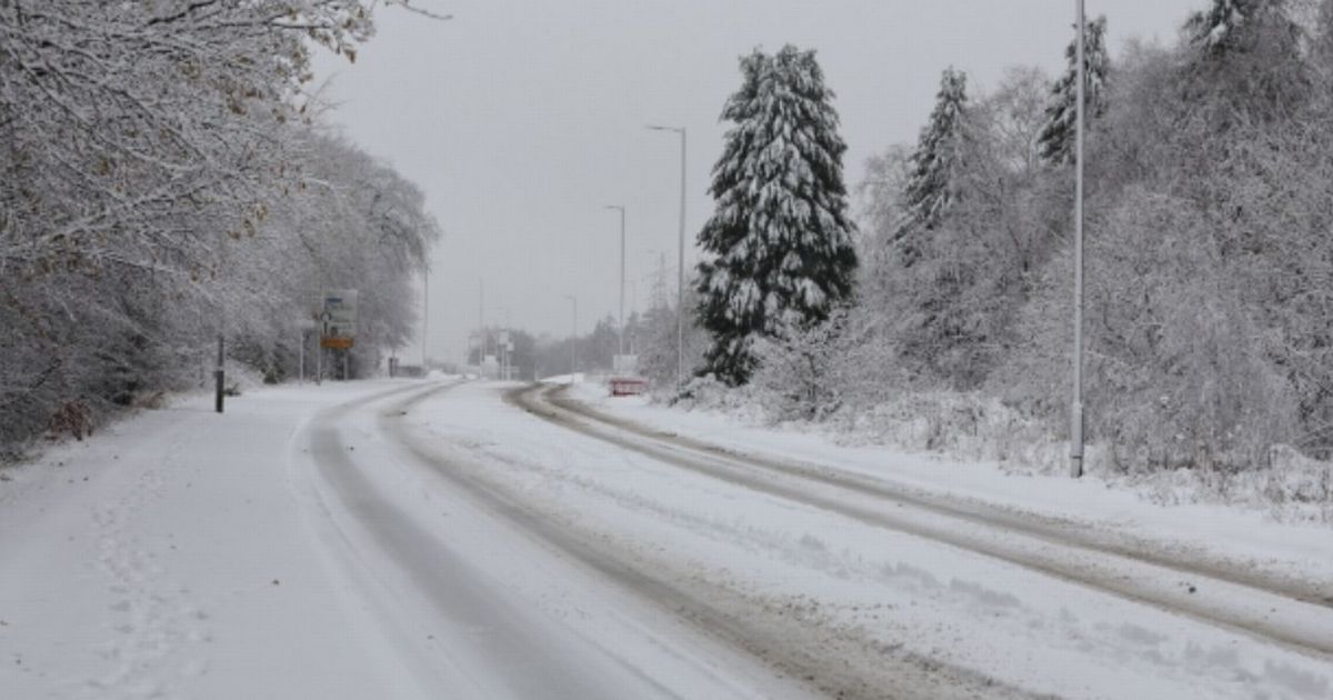
The UK is facing a 320-mile wall of snow in and around November 5, as the first significant event of the winter kicks off in England. Exact hour snow will hit UK with England facing flurries as well as Scotland
The exact hour snow starts in the UK – hitting England as well as Scotland – has emerged. The UK is facing a 320-mile wall of snow in and around November 5, as the first significant event of the winter kicks off in England.
The charts show swathes of the UK – from Leeds, England to Wick in Scotland – will be blanketed. The worst of the weather will begin in the country from MIDNIGHT – 0000 hours – on Wednesday, November 5, it is thought.
The snowfall will strike on Bonfire Night itself – potentially putting displays and fireworks events across the country at risk.
READ MORE 1.6 million drivers handed £160 fine ‘after wanting to follow rules’
A Met Office forecast for the coming week says: “Mist and fog patches clearing to leave a dry day for many, with sunny spells and just a few showers. Turning wet and windy in the southwest come late afternoon.
“Potentially wet and very windy on Thursday, but clearing to sunshine and showers by Friday. Colder Saturday with further scattered showers, these wintry over the Scottish mountains.”
Looking at November, the forecasting agency adds: “An increasingly cold northerly flow to start this period, which will be showery around coastal areas but there will be some brighter spells inland.
“The showers could be wintry at times over the high ground in the far north. Into the following week conditions will likely turn increasingly changeable as a more westerly pattern develops.
“This will likely allow outbreaks of rain and some periods of stronger winds to spread into the UK from the Atlantic, but there will however be some drier interludes at times.
“The wettest weather will probably be in the north and west but much of the UK will see rain at times. Temperatures are expected to be close to or slightly below normal for the time of year.
“Changeable and unsettled with weather systems spreading from the west. These will bring spells of rain, heavy at times, and some strong winds, interspersed with drier, brighter, and less windy periods between systems.
“Temperatures are expected to be close to normal or perhaps slightly above.”
Netweather’s Jo Farrow said: “This week will see bouts of wet and windy weather as Atlantic low pressures bring rain and heavy showers. The high pressure from last week is now away over the Black Sea and low pressure moved over the UK on Sunday.
“This brought heavy rain to Northern Ireland on Sunday, with torrents of water flowing off the Mourne Mountains into flood-prone towns of County Down.
“This surface water flooding saw streets full of water with debris, including stones and rubble. Although there will be more wet weather for Northern Ireland this week, it won’t be anything like the torrents of the past weekend.”