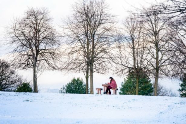
Counties at risk include Tyne and Wear, and North Yorkshire, as flurries look likely to spread from Scotland southwards.
13:23, 24 Oct 2025Updated 14:59, 24 Oct 2025
 UK snow ‘widened’ to two counties in England with 3cm expected
The UK snow has been widened to include TWO counties in England – with up to 3cm expected. Counties at risk include Tyne and Wear, and North Yorkshire, as flurries look likely to spread from Scotland southwards.
Counties and council areas such as the Scottish Highlands, Aberdeenshire, Tyne and Wear, and Yorkshire. The maps and charts have been projected by WX Charts, using Met Desk data.
Maps show wintry flurries spreading across the country on Saturday night (October 25) before lasting into Sunday, with snow showers accumulating with a 3cm covering across parts of central Scotland and the Highlands too.
READ MORE Six new rules for renters and landlords in England as bill to become law
Flurries could linger into Monday, too, with rain expected further afield. The data from the Met Desk shows temperatures around freezing in Scotland.
Northern England, meanwhile, faces downpours of rain. The mercury will be 0C in Scotland but could be in the single-digit region in parts of England, likely between 1C and 3C.
Looking at the weekend, the BBC Weather team says: “Tomorrow, blustery showers across the west, and also for northern Scotland, these turning wintry on the higher ground. The odd shower elsewhere. Sunny spells between showers. Windy and chillier.”
The outlook for Sunday to Tuesday adds: “Sunday will have a chilly start for most, and generally dry, but through the day outbreaks of rain will spread in from the north-west.
“Breezy, locally windy. Some lingering showers on Monday morning, then turning mostly dry and sunny. Staying breezy. Chilly.
“Tuesday looks to continue breezy with blustery showers in the west and north, but drier elsewhere.” The Met Office has also delivered its verdict for the coming days.
The Met Office forecast for Saturday says: “Remaining rather cloudy in the northeast with some further rain at times. Scattered showers also moving into western areas, but mostly dry with sunny spells elsewhere. Another cold feeling day.”
Its outlook for Sunday to Tuesday adds: “A mainly dry start on Sunday, but rain spreading in from the northwest throughout the day.
“Remaining changeable early next week, especially in the northwest, but temperatures gradually recovering.”
BBC expert Stav Danaos, Lead Weather Presenter, said: “If showers fall over high ground – mainly above 400m – there is the chance these will turn to snow. This is most likely over the highest ground in Scotland where a few centimetres of snow accumulation are possible. There may also be a touch of wintriness over the highest hills of northern England, Wales, and Northern Ireland. But it’s all change again next week. A change in wind direction will bring milder temperatures. Then by the end of the week, heavy rain and strong winds look likely.”
