
A map shows just how significant the snowfall is likely to be, with flurries anticipated from the early hours of Tuesday, November 18.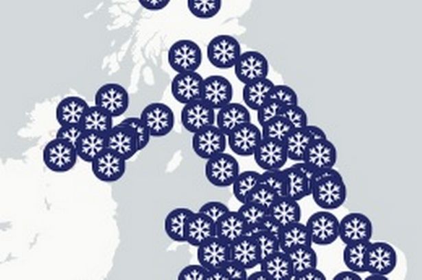 UK snow map shows nine counties in England will be only places spared tomorrow
A UK snow map has laid bare the extent of the snowfall which lies ahead of England tomorrow. A map shows just how significant the snowfall is likely to be, with flurries anticipated from the early hours of Tuesday, November 18.
The Met Office has issued a 15-hour snow warning – with yellow warnings for ice and snow in effect. Maps projecting snow estimations and predicted accumulations show only a string of counties in England will escape.
There is set to be limited snowfall in counties such as Dorset, Somerset, Wiltshire, Hampshire, Berkshire, Sussex, Kent, Greater London, Buckinghamshire, the maps show.
READ MORE Major UK car ban moves step forward with drivers issued big update
Arctic air plunges southwards today (Monday), bringing a cold but sunny day for many. Conditions turn wintry in the north, as a frontal system moves across southeast Scotland, bringing a mix of rain, sleet and snow across Scotland tonight and into Tuesday.
Chief Forecaster Paul Gundersen said: “Scattered showers feed into the northeast and far north of mainland Scotland on Monday night, bringing a risk of icy conditions on roads and pavements.
“An area of rain will reach the west of Scotland early on Tuesday morning, with a risk of this turning to snow as it moves inland.
“Whilst there is some uncertainty as to the exact track and extent, a period of snow is likely over high ground, with accumulations of 2-5 cm possible above about 150 metres in elevation, and as much as 5-10 cm above 400 metres. This period of snow could bring some disruption to travel and infrastructure across higher parts of Scotland.”
Deputy Chief Forecaster Tom Crabtree explained: “Wednesday to Friday will be the coldest part of the week, and this period has the greatest potential for impactful weather, with multiple warnings in place.
“Overnight, temperatures could get down to minus ten, with a significant wind chill from the strong northerly wind making things feel even colder.
“Wintry snow showers are expected to extend south through Wednesday and into Thursday, mainly affecting north facing coastal areas.
“Snow accumulations are possible, including 2-5 cm to some low-lying areas in the north and east where showers are frequent.
“On hills in parts of Northern Ireland, the northeast of England and Scotland, 5-10 cm of snow could fall and accumulations of 15-20cm are possible above 300 metres in parts of northeastern England and Scotland.
“Although many places will see plenty of sunshine, daytime temperatures will be well-below average, with a widespread frost setting in during the evening, especially in sheltered areas.
“With sub-zero temperatures in the first ‘cold snap’ of the year, updates to the current warnings are possible, so its important people keep up to date with the forecast.”