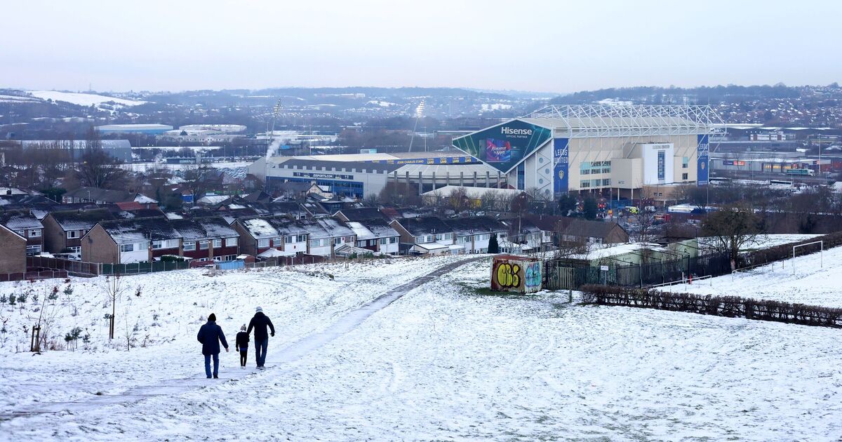
The current wintry cold weather appears set to continue into December, as snow returns to parts of the UK and temperatures plunge to a bitter -6 °C. New weather maps from WXCHARTS, which uses MetDesk data, have revealed a period of unsettled weather beginning in mere hours.
From 6pm today and extending into Monday, snow and freezing temperatures are forecast to batter parts of Scotland. This evening, the mercury could plummet to as low as -6C in the Scottish Highlands near the Cairngorms – much colder than the November average of 8C for the country. By 3am tomorrow, snowfall is expected across much of Scotland, from Loch Lomond to Cape Wrath.
The Cairngorms are once again expected to be the worst-affected part of the country, with as much as four inches (10cm) of snow forecasted for Monday.
Overall, the worst-affected areas will be: Aberdeenshire, Banffshire, Moray, Inverness-shire, Perthshire, and Ross and Cromarty.
Separately, the Met Office forecast for November 30 reads: “Early clear spells will allow a frost to form in the east.
“However, milder, wet and windy weather will sweep in across all parts from the west overnight. The rain will be particularly heavy across some western areas.”
Its forecast for tomorrow (December 1) states: “England, Wales and parts of southern Scotland will be cloudy with some heavy rain, particularly in the west.
“Windy for many. Coastal gales. Brightening up elsewhere with the odd shower.”
The national weather agency has also issued three yellow and one amber weather alert for Monday, warning of heavy rain and flooding.
Some homes and businesses in the affected areas are likely to flood, and power outages should also be expected.