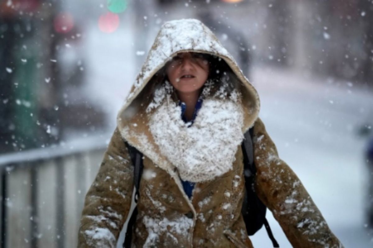
Snow maps, depth charts and predictions of accumulations show the UK faces a 36 hour blizzard from January 8 into January 9. UK faces ’36 hours of snow’ with 16 counties in England facing a ‘blizzard’
UK snow maps show 36 hours of blizzards hammering 16 counties in England. Snow maps, depth charts and predictions of accumulations show the UK faces a 36 hour blizzard from January 8 into January 9.
Maps show the counties set to be hit, as white, blue and grey sweep across the country, as per WX Charts, include Northumberland, Durham, Yorkshire, Norfolk, Leicestershire, Nottinghamshire, Derbyshire and the West Midlands.
Greater Manchester, Staffordshire, Lancashire and Kent are also braced for flurries, according to the advanced modelling, based on the Met Desk data and GFS system. Other counties facing a blanket include Hampshire, Berkshire and Buckinghamshire as well as Cambridgeshire.
READ MORE 38 councils in England bringing in double council tax from April – full list
Snow is forecast to begin at 6am in Cumbria, Lancashire, northern Wales, with up to 1.6 inches per hour in some areas and by 6pm, snowfall is expected in Monmouthshire, Stoke-on-Trent, Birmingham, and Manchester.
At midnight on Friday, January 9, snow is set to move further south, covering Birmingham, Norwich, Cambridgeshire, and as far south as Hampshire.
James Madden, from Exacta Weather, said: “Throughout New Year’s Eve and from in and around the evening, we will now see the very first snow showers starting to form and fall across parts of the far north and Scotland.
“These will also spread southwards during New Year’s Day and some wintry weather or snow could also form in some parts further south and potentially in parts as far south as some central and southern regions and Wales and Northern Ireland later in the day/evening (unlikely to be widespread away from the north to begin with).
“However, during the evening of the first day of the New Year and into the 2nd January will see swathes of heavy snow sweeping across some large parts of the country with variation from hour to hour and day by day.
“Initially, the heaviest snow showers will increase in some large parts of the north and Scotland before becoming more widespread in some large parts of northern and north-east England and Northern Ireland and to the west of Ireland during these same dates of later this week and particularly from the early hours of Friday 2nd January and into next weekend is when the snow risk will also heighten significantly and transfer to more central, southern and eastern parts of England and Wales and also to other parts of Ireland, whilst also continuing in the parts further north mentioned above and offering snow and accumulating snow to much lower levels than usual.
“It is now also highly likely that varying levels of snow and heavy snow warnings will be issued for many regions from as early as later Thursday and Friday and into next weekend from the far north to parts of the far south.”
Mr Madden said: “Additionally, this also looks likely and set to be the continuing theme for the foreseeable future and until at least around January 10/11th, with some obvious variations to be expected from day to day, and any breakdown to less wintry weather conditions around this time are only likely to be temporary and, if at all, as more waves of snow are likely to follow on from this and accompany further cold conditions beyond these dates in January.
“These incoming and expected major cold and wintry blasts with widespread snow for many are largely in part due to the earlier and expected atmospheric disturbances and certain ocean behavioural trends and put us in a very favourable position for these types of repeated cold and snowy weather events at this stage of the winter and also going forward into the rest of January, and obviously for those who appreciate and like cold weather and snow.”
