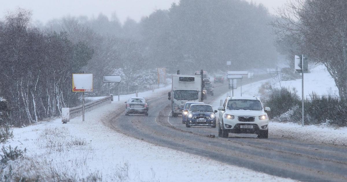
Parts of Tayside, Grampian, the Highlands, Orkney, Shetland, and northwestern Scotland are expected to be affected, with up to 10cm of snow expected to accumulate in some areas by Friday morning.
Meanwhile, Scotland’s capital will see periods of cloud throughout New Year’s Eve, with a high temperature of seven degrees and wind gusts up to 30mph.
Hogmanay festivites have already begun in Edinburgh. (Image: Ryan Buchanan)
Hogmanay itself will be mostly cloudy with showers and a higher temperature of five degrees. Wind gusts of 29mph are expected.
Met Office deputy chief forecaster Mark Sidaway said: “It certainly looks like we are in for a taste of ‘winter’ as we welcome in the new year, initially in the north but more widely across the UK for the first week of 2026.
“Arctic air and strong northerly winds will bring cold or very cold conditions to all parts of the UK, and it will feel especially cold in the strong winds.
“Widespread and locally severe frosts are expected, along with the first snow of the winter for many.
The relatively calm conditions in Edinburgh will be a relief for revellers, after last year’s festivities were cancelled over concerns of severe weather.
Read more:
Thousands are expected to descend on city centre streets to drink, listen to live music, and watch fireworks over Edinburgh Castle at the bells.
Sidaway added: “These colder conditions and wintry hazards – snow, ice and strong winds – will develop more widely as we enter the new year, with more warnings for snow and ice likely.
“It looks like this cold spell will last through at least the first week of January, so it’s important people keep up to date with the latest forecast and warnings.”