The cold snap has prompted the UK Health Security Agency (UKHSA) to issue an amber cold-health alert for London and much of England
12:26, 03 Jan 2026Updated 12:32, 03 Jan 2026
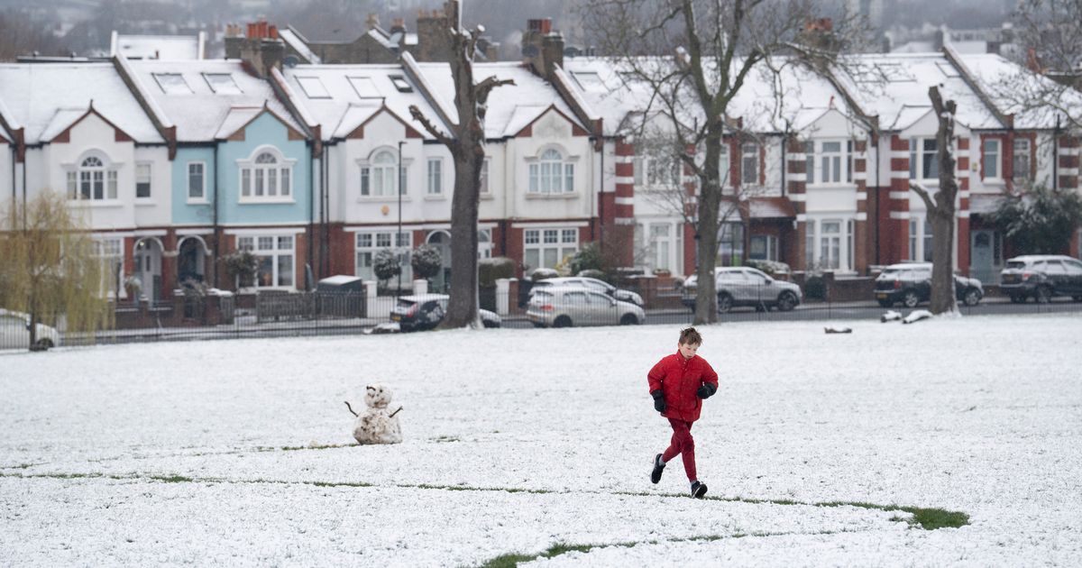
 A marked drop in temperatures could mean London experiences snow this week
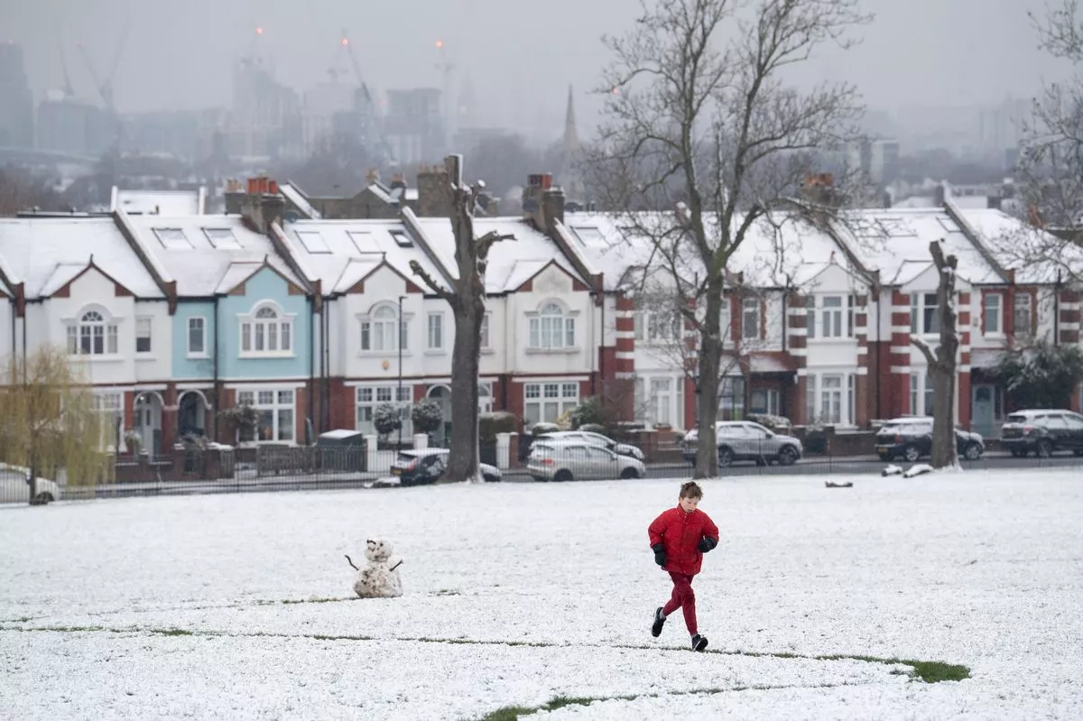
London is set for a prolonged spell of cold, dry winter weather, with frosty nights, bright days and a growing risk of more snow as the week goes on. There is an increasing chance of snow developing from Sunday night into early next week, with further wintry risks possible later in the week.
Both the BBC and Met Office are forecasting crisp winter sunshine through the weekend and into early next week, but temperatures will remain stubbornly low, with icy nights and daytime highs struggling to climb much above 2–4°C. A noticeable cold wind will add to the chill at times.
The Met Office says there is uncertainty heading into Sunday evening, but a chance of snowfall cannot be ruled out. Its outlook for Tuesday and Wednesday also flags the potential for rain or snow as weather systems begin to edge in from the Atlantic and meet cold air over the UK.
The BBC forecast snow and sleet symbols appearing from midweek, alongside overnight temperatures close to or below freezing in parts of the capital.
The cold snap has prompted the UK Health Security Agency (UKHSA) to issue an amber cold-health alert for London and much of England , running from 8pm on 2 January until 10am on 9 January .
An amber alert means forecast conditions are likely to have a significant impact on health and social care services , with officials warning of:
- a rise in deaths, particularly among over-65s and those with existing health conditions
- increased pressure on the NHS
- indoor temperatures in some settings dropping below the recommended 18°C
- wider knock-on impacts to transport, energy and staffing levels
People are being urged to check in on vulnerable friends, family and neighbours, keep homes adequately heated where possible, and take extra care when travelling during icy conditions.
Looking further ahead, longer-range forecasts suggest the intense cold may begin to ease later next week. However, forecasters warn there is still potential for further spells of snow , particularly if Atlantic rain meets lingering cold air — a scenario that often brings disruptive winter weather to London.
Day-by-day London forecast
Saturday: Sunny but bitterly cold with frost early on. High of 2°C . Saturday night: Clear and icy with a hard frost. Low of -4°C . Sunday: Largely sunny again but very cold; snow possible later. High of 2°C . Monday: Dry, bright and cold with winter sunshine. High of 3–4°C . Tuesday: Cloud increasing later with a chance of rain or snow. High of 4°C . Wednesday: Cloud clearing to sunshine, still cold with wintry risks lingering. High of 4–5°C .
Met Office chief meteorologist Rebekah Hicks said: “Arctic air and brisk northerly winds are gripping the UK as we start the new year.
“Snow and ice warnings remain in force for many areas, with the risk of heavy snow showers, especially across northern Scotland and over higher ground elsewhere, though many inland areas will stay largely sunny and clear.
“Bitterly cold conditions will persist through the weekend and into next week, with daytime temperatures struggling to rise above freezing for some, and overnight lows dipping to minus double figures in places.
“We urge people to stay #WeatherAware, keep up to date with the forecasts and plan ahead as icy roads and slippery surfaces are likely.”