Weather maps show a new storm approaching
19:31, 11 Jan 2026Updated 19:33, 11 Jan 2026
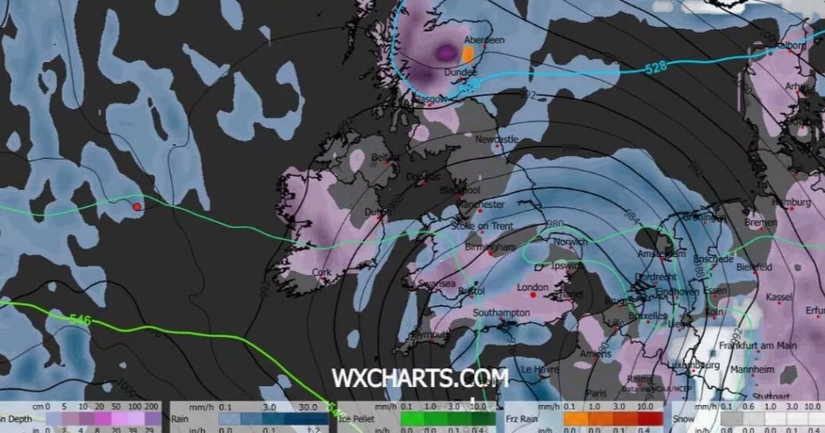
WX Charts snow coverage map at 9am on Sunday, January 18 shows snow in Birmingham(Image: WX Charts)
It’s barely melted, but the next lot of snow for Birmingham is forecast to be just days away. It comes as a new storm has shown up on advanced meteorological maps.
Weather maps hint at another storm descending upon Britain next Sunday, January 18. They show it could bring heavy snowfall as well as torrential rain.
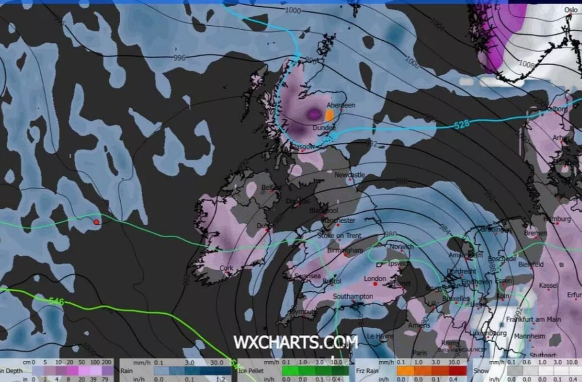
The GFS weather model predicts intense snow showers over the majority of Wales during the early hours, while the Midlands and southern England should initially brace for heavy rainfall.
Read more Birmingham snow forecast as new storm predicted in two weeks
By 3am, this weather system is expected to shift eastwards swiftly, bringing additional snowfall to London and Essex. East Anglia and the south-east are forecasted to experience heavy rain showers around this time.
Snow coverage charts at 9am show snow in a substantial part of the Midlands, including areas of Birmingham, and blanketing most of southern England.
Wales appears set for a complete snow cover, as do central and northern regions of Scotland. Both Glasgow and Edinburgh can anticipate some snow flurries,
BBC Weather’s outlook for the coming week also teases the potential for more snowfall. However, it suggests that the snow won’t be widespread.
The outlook indicates: “The rest of the week should remain unsettled with temperatures near or above the January average, so laying snow should quickly thaw. There are hints of a potent low pressure system approaching late in the week, so some heavy rain and strong winds look possible, with snow most likely just over higher ground in northern Scotland.”