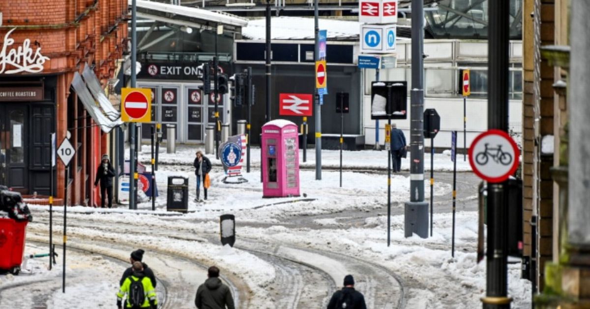
New weather maps, from WX Charts, using Met Desk data, shows a blanket of white spreading across the country.
Next UK snow bomb will hit ‘whole’ of England except five counties – full list(Image: )
The next UK snow bomb with see only five counties in England escape blizzards – with the whole of England affected. New weather maps, from WX Charts, using Met Desk data, shows a blanket of white spreading across the country.
New ECMWF charts, generated by WX Charts on January 15, show snow hitting England on January 27, with the south of England and west most primarily affected.
Only a few counties, mainly on the south coast and in the south west, are set to be spared from the wintriness, the advanced modelling from the weather system goes on to also show.
READ MORE UK households without driveways issued £40,000 warning in ‘two-tier’ system
Cornwall, Devon, Dorset, Somerset and West Sussex will be spared. The rest of the country, though, rather than in grey, is actually covered in a huge white blob, signifying Arctic air and wintry showers.
A Met Office forecast for the end of the month explains: “Initially, slowly evolving weather patterns are most likely in the vicinity of the UK, with low pressure typically to the west or southwest and high pressure to the northeast.”
The outlook, from January 29 onwards, adds: “This configuration brings an increased chance of cold conditions affecting parts of the UK, and the associated risk of wintry hazards at times.”
And looking at February, it adds: “Deeper into February, and whilst confidence is naturally low, there may be a transition to more widely unsettled conditions and perhaps a corresponding recovery in temperature back closer to average.”
BBC forecaster Chris Fawkes said: “The rest of the month will have low pressure to the west of the UK and high pressure to the north-east. It will be quite wet at times in southern and western areas, so there could be a few more localised flooding issues yet to come this month.
“The weather will often be rather cloudy and there could be some colder incursions of air getting into the north-east of the UK threatening some snow.
“This along, with the cold snap we saw at the start of the month, means that January may turn out to be a colder month than average, something that we see much less often as our climate continues to warm.”