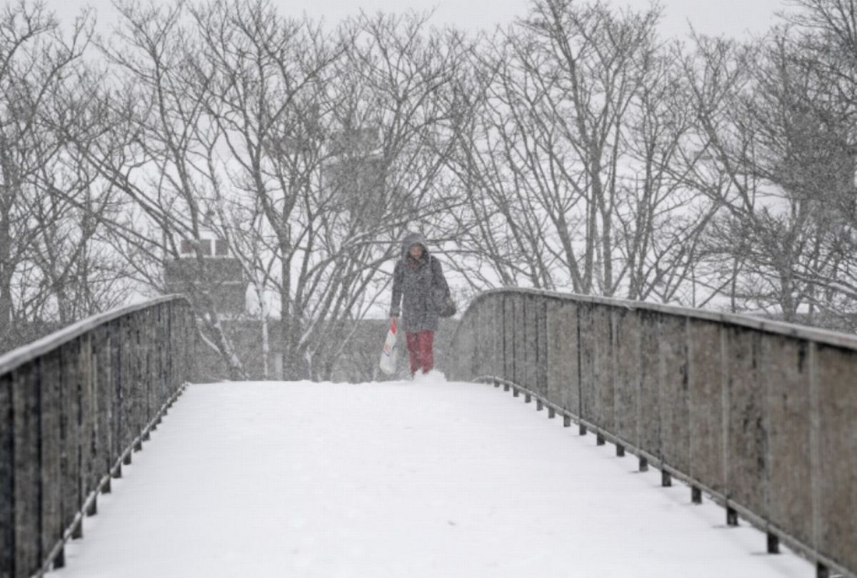
UK snow maps have shown the UK disappear under a blanket of the white stuff, but not everywhere is scheduled to be hit.
UK faces 248-mile snow storm with all but six counties in England covered(Image: )
The UK faces a massive 248-mile snow storm with everywhere in England hit – except SIX counties. UK snow maps have shown the UK disappear under a blanket of the white stuff, but not everywhere is scheduled to be hit.
The maps show a huge 248-mile span – from Gloucester to Durham – will be covered in the white stuff. The UK looks set to be hit by a huge Atlantic storm in just a matter of days.
The latest ECMWF forecast charts, produced by WXCharts and valid for Tuesday, January 27 at 6pm, show snowfall across the whole of England. But counties spared include Cornwall and Devon, as well as Dorset.
READ MORE Clocks to change earlier in 2026 with new sunset time for UK households
Others set to escape are Somerset, Wiltshire and Gloucestershire. Exacta Weather’s James Madden said: “As even further weighting in going forward and in terms of snow potential for this current week, the newest and latest GFS and ECM computer models continue and both increase those wintry and widespread snow prospects across the northern half of the country during Thursday, particularly from later on Thursday across moderate to higher ground at the very least and also into Friday.
“Additionally, it also has large parts of the country coming under fire from widespread developing snow showers from west to east for many, particularly from Saturday and into Sunday of this week and also beyond this and over the period and duration of ‘weeks’ and also coinciding at times with features pushing in from the Atlantic to deliver even further widespread snow for many as these expectations clash with the colder conditions in place across our shores.
“We’re nearly there now, everyone and those who need to catch up with what is about to happen at ground level later this week, and, in reality, will more than likely be forced into doing so over the coming days…”
Mr Madden said: “As we head into the latter part of the upcoming week and also beyond that, we are now going to see much colder conditions ushering in across our shores from a much colder source to the east and north of us in terms of a cold easterly influence over several days to begin with, and/or changing to a northeasterly or even northerly winds ‘at times’ later (still cold and snowy scenarios likely).
“Additionally, Wednesday to Friday of this week will now see the first wintry weather of this next expected episode and also with snow in places with some differences for each day as explained in the below and earlier link from today, and to also initially coincide with more windy weather and rain bands gradually turning more wintry or to snow as it clashes with the ‘gradually becoming colder’ conditions in place across our shores, particularly across higher ground to begin with.”
