Maps and charts, from WX Charts, which uses Met Desk, show low pressure sweeping in from Tuesday, January 27.
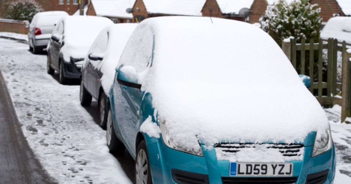
14 counties in England set to escape next UK snow bomb which starts on Tuesday(Image: )
All the parts of the UK set to be spared snow this week have been laid bare by new weather maps. Maps and charts, from WX Charts, which uses Met Desk, show low pressure sweeping in from Tuesday, January 27.
The latest ECMWF snow maps indicate that snow will begin falling shortly after midnight on January 27,affecting areas around Stoke on Trent, Manchester, Liverpool and parts of Scotland.
By 9am in the morning, the white stuff will hit Birmingham and the West Midlands conurbation. By 3pm, snow should shortly affect multiple counties in northern Wales.
READ MORE Major UK high street chain rebrands and starts shutting stores tomorrow
But despite the widespread nature of the snow, not everywhere will be hammered. Instead, Greater London will escape, as well as Kent, Sussex, Norfolk, Essex, Suffolk, Cambridgeshire, Devon, Somerset, Gloucestershire, Hampshire, Surrey, Dorset and Cornwall.
The BBC Weather team says: “High pressure will try to expand from Scandinavia across areas to the north of the United Kingdom, but Atlantic low pressure systems will never be far away. As a result, the weather will stay changeable through the coming week, but it will turn a bit colder.
“There will be a to-and-fro between mild air trying to push in from the south-west and colder air infiltrating from the east and north-east, so day-to-day temperature details are uncertain.
“No notably cold air is expected, with temperatures near to a shade below average overall in the north and east¸ and close to or a little above in parts of the south and east. However, keen south-east to easterly winds will make conditions feel colder at times, especially towards eastern coasts.
“The weekend will be blustery, with some hit-and-miss showers, a few wintry over northern hills and mountains, and some more widespread rain for parts of England and Wales.
“Temperatures will start to fall by Monday, which should be a drier day – at least for a while.
“A band of rain should push into western and southwestern areas later. As this edges farther north and east overnight and into Tuesday, some snow should develop over north Wales, northern England and Scotland, mainly over higher ground.
“Another band of rain and hill snow could move in from the south-west at some point in the second half of the week, with brighter and more showery conditions before and after.”