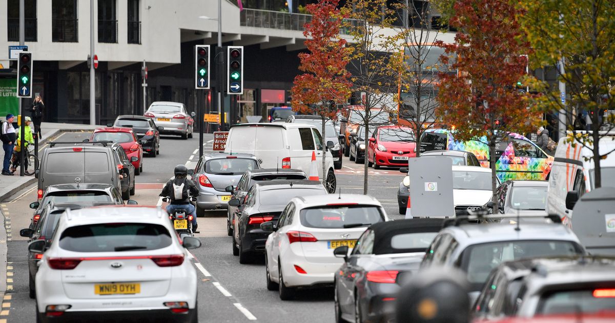
We have used hyperlocal crime data Traffic in central Bristol(Image: Ben Birchall/PA Wire)
The riskiest locations to park in Bristol have been revealed in a new map.
Using hyperlocal crime data, we’ve mapped the locations where cars, vans and motorbikes are most likely to be stolen, broken into, damaged, or vandalised.
Last year, police recorded more than 340,000 cases of vehicle crime in England and Wales, which includes theft from or of a vehicle, or any attempt to interfere with it.
Crime figures show that, unsurprisingly, cars and other vehicles were normally most at risk of being stolen, broken into, or damaged in busy city centres, airports, or other locations with plenty of long-stay parking.
In the Avon and Somerset Police force area, Bristol’s City Centre & Harbourside neighbourhood suffered more vehicle crime than anywhere else, with 199 crime reports.
That’s the equivalent of one car, van, or bike being stolen, broken into, damaged or tampered with every 44 hours.That was followed by Temple Meads (194 crimes).
Other Bristol neighbourhoods with high levels of vehicle crime include Bedminster (184 crimes), Lower Easton (174), and Redfield (158).
The riskiest locations to leave a vehicle outside the city include Almondsbury, Pilning & Severn Beach in South Gloucestershire (96 crime reports), and Weston Town in North Somerset (89 crime reports).
You can see how it compares where you live using our interactive map.
The maximum jail sentence for vehicle theft is seven years’ imprisonment. However, the maximum sentence for the lesser offence of taking a vehicle without consent is six months.
For the crime of vehicle interference, culprits could be jailed for up to three months.
The neighbourhoods with the most crimes and the highest rates by police force area
Avon and Somerset Constabulary
- Highest crimes: City Centre & Harbourside (199), Temple Meads (194), Bedminster (184)
- Highest crime rates per 1,000 residents: City Centre & Harbourside (23.0), St Werburghs (19.0), Lower Easton (18.8)
The bustling central London neighbourhoods of Fitzrovia West & Soho (883 crime reports), and Strand, St James & Mayfair (724), had more vehicle crime than anywhere else.
Outside London, the area surrounding Birmingham Airport – Marston Green & Airport, in Solihull – suffered the most vehicle crime (486 crime reports), followed by Birmingham’s North Central & Dartmouth Circus neighbourhoods (485), and then Leicester City Centre (424).
Crime figures are available for every one of more than 7,000 neighbourhoods in England and Wales except areas covered by Greater Manchester Police, as the force has not supplied crime data for the last year.
Crime figures are available for neighbourhoods with between 7,000 and 10,000 residents, which the government designates as Middle Super Output Areas (MSOAs).
The statistics do not include crimes reported at train stations, as British Transport Police record them.