After weeks of sweltering heat, the Chicago area will finally see a drop in temperatures this week – but not without showers and possible thunderstorms, the NBC 5 Storm Team said.
A cluster of thunderstorms will work their way toward Chicago Wednesday, but the city is sitting in the “fringe of the marginal risk” based on radar and satellite predictions, the NBC 5 Meteorologist Brant Miller said.
Tuesday’s weather was “the last hurrah at least for this experience of heat,” Miller said.
Anyone looking to relish in the cooler temps should stay out of the lake as a beach hazard warning will be in effect from Wednesday afternoon through Friday afternoon, according to the National Weather Service.
Here’s a look at what weather to expect over the next few days:
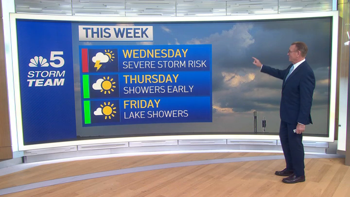
Wednesday
Wednesday morning has a chance of showers and thunderstorms, but the morning commute likely won’t be impacted, Miller said.
A steady temperature around 76 degrees is anticipated, according to NWS. After 4 p.m., showers are likely and thunderstorms are possible.
There is an elevated risk of flooding and an elevated thunderstorm risk in portions of north central Illinois, northeast Illinois and Northwest Indiana, according to NWS.
Wind gusts as high as 25 mph and rainfall amounts between a quarter and half of an inch are possible, NWS predicts.
“It looks like this is leaning toward more of a wind and heavy rainfall event, but you can’t rule out an outside chance of a tornado,” Miller said.
Periods of thunderstorms are likely Wednesday through Thursday morning, with some anticipated to possibly produce torrential rain and localized flash flooding, according to NWS.
The heavy wind and rainfall create a high swim risk for all Lake Michigan beaches.
A beach hazards statement will go into effect Wednesday afternoon and stay active through Friday afternoon, according to NWS.
Large waves between 5 to 8 feet and dangerous currents are expected at Lake Michigan beaches and swimming conditions will be life threatening.
Thursday
There’s a chance of thunderstorms before 10 a.m., followed by a chance of showers until 1 p.m., NWS predicts.
The day will start cloudy and then the sun will come out gradually, with a high near 72 degrees, according to NWS.
There might be some lingering showers in the south suburbs in the afternoon, Miller said.
The beach hazard statement will remain in effect for all of Thursday.
Friday
Friday could see some lake-effect showers, but no heavy rainfall, Miller predicted.
NWS predicts a high near 74 degrees.
The beach hazard statement will remain in effect until Friday afternoon.
Friday night will be mostly clear with a low around 63 degrees, according to NWS.