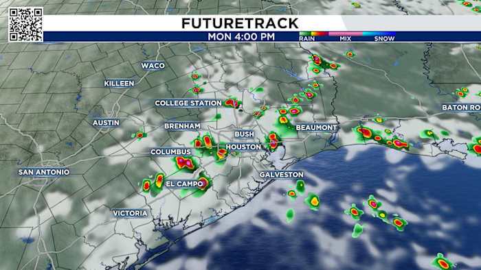
We’re tracking more widespread showers starting late morning and stretching into the evening.
Tuesday’s Forecast:
Most areas will see under 0.10″ of rain, but some thunderstorms could unleash a hefty 1 inch of rain. Stay alert for updates because more rain is headed our way all week long.
You can track radar here:
Futuretrack (Copyright 2025 by KPRC Click2Houston – All rights reserved.)Futuretrack (Copyright 2025 by KPRC Click2Houston – All rights reserved.)Futuretrack (Copyright 2025 by KPRC Click2Houston – All rights reserved.)
The reason rain chances increase is due to high pressure moving east away from Texas. Without the high pressure, there will be no sinking air to dry out the atmosphere. Instead, a return of moisture from the Gulf moves in.
High pressure moves east next week
The dry air will be focused across the eastern half of the country, leading to record-breaking temperatures in the northeast.
Midwest to the Northeast will see record challenging temperatures as High Pressure moves in next week.Tracking the tropics:
We’re watching a trough of low pressure 600 miles east-southeast of Bermuda. Right now, it’s just disorganized showers and thunderstorms but it is showing signs of organizing. The National Hurricane Center is saying there is a likely chance (70%) of formation of a tropical depression in the next two days.
The cluster of storms is moving to the NE at 10mph, and as it does it is entering a much less favorable environment for tropical development. By Tuesday it will be in cooler waters and encounter strong upper level winds, both of which will quickly dissipate the system.
Tropical Outlook
If this storm is able to develop and organize quickly it would become our first named storm of the year, Tropical Storm Andrea.
Regardless of development, this is not a threat to the lower-48. This storm will continue to push to the NE over the open central Atlantic Ocean.
Invest 90-LYour 10-Day Forecast:
Temperatures are a few degrees cooler than average, in the upper 80s to low 90s, with warm morning lows. Expect scattered showers and thunderstorms through Friday. As we approach the weekend we will see rain chances decrease, just in time for the Houston Pride Parade!
Drying out through the weekend
Copyright 2025 by KPRC Click2Houston – All rights reserved.