After finally breaking the 100-degree barrier and being baked for three consecutive days, North Texans can have a little room to breathe Friday.
Related:How many more triple-digit days will the Dallas-Fort Worth area get this week?
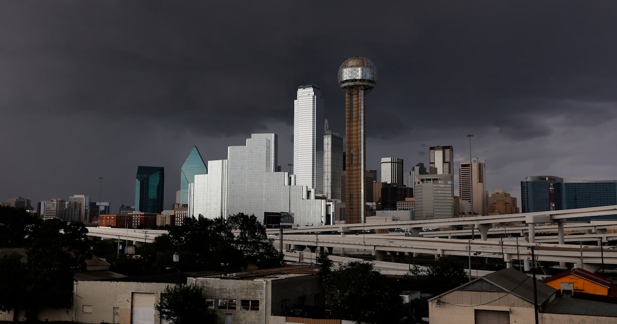
Scattered and isolated rainstorms are expected in the region, and with it comes a slight drop in high temperatures. The high on Friday is expected to be 97 degrees, according to KXAS-TV (NBC5).
The National Weather Service’s Fort Worth office is predicting a 40% to 50% chance of rain in North Texas. Those storms will be scattered, and are expected to begin in the afternoon.
D-FW Weather Wise
Some storms could become strong and carry localized flash flooding, according to the Weather Service. More rain is expected in the evening, with the greatest threat for flooding being in areas north of Interstate 20 and west of Interstate 35, which includes part of Dallas County.
More rain is expected Saturday and Sunday, along with a much larger drop in temperature, with highs being in the low 90s. However, heat indices will still be high, ranging from the 90s to as high as 105, according to the Weather Service.
Latest Dallas forecast via KXAS-TV (NBC5):
FRIDAY: Hot with mixed clouds and sun. Good chance (50%) of late afternoon or early evening thunderstorms. Some could produce brief gusty winds. High: 97.
SATURDAY: Partly to mostly cloudy and not as hot. Lingering 30% chance for spotty thunderstorms, mainly during the afternoon. Low: 76. High: 91.
SUNDAY: Partly cloudy, very warm and humid. Low: 77. High: 91.
MONDAY: Partly sunny, hot and humid with a slight chance of storms. Low: 76. High: 96.
TUESDAY: Mostly sunny, hot and humid. Low: 77. High: 97.
WEDNESDAY: Mostly sunny, hot and humid. Low: 78. High: 97.
THURSDAY: Mostly sunny, hot and humid. Low: 78. High: 98.