We’ve got a gorgeous stretch of weather to enjoy this weekend. Overnight, lows will dip into the mid-50s in the cooler spots and hover near 60 elsewhere.
By Sunday morning, we’re looking at sunshine from start to finish with highs in the low to mid 80s and low humidity, making it a great day to get outside.

CBS News Philadelphia
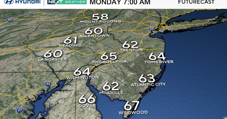
As we move into the early part of next week, high pressure will remain in control, keeping the dry and calm weather going through at least Tuesday. Nights will stay cool thanks to clear skies and light winds, especially inland.
Along the shore, a persistent onshore breeze could lead to some minor tidal flooding and an increased risk of rip currents, so be cautious if you’re heading to the beach.

CBS News Philadelphia
Looking ahead to mid-to-late week, the forecast becomes a bit more uncertain. A weak area of low pressure may try to develop offshore, and some upper-level energy could bring a few showers into the region — mainly south and east of the I-95 corridor by Wednesday or Thursday. However, if high pressure holds stronger than models suggest, we could stay dry for longer.
We’ll keep an eye on those developments, but for now, enjoy what’s shaping up to be one of the nicest weekends we’ve had in a while!
NEXT Weather calendar lookahead
Meteorological summer ends in 29 days, and astronomical summer ends in 51 days on Sept. 22.
Labor Day is only 30 days away, and we celebrate Thanksgiving in 99 days!
Here’s your 7-day forecast:

CBS News Philadelphia
Sunday: Mostly sunny. High 85, Low 61.
Monday: Sunny & warmer. High 89, Low 62.
Tuesday: Plenty of sun. High 88, Low 65.
Wednesday: Few more clouds. High 81, Low 68.
Thursday: A late shower? High 82, Low 69.
Friday: A shower early. High 83, Low 64.
Saturday: Partly cloudy. High 86, Low 64.
More from CBS News