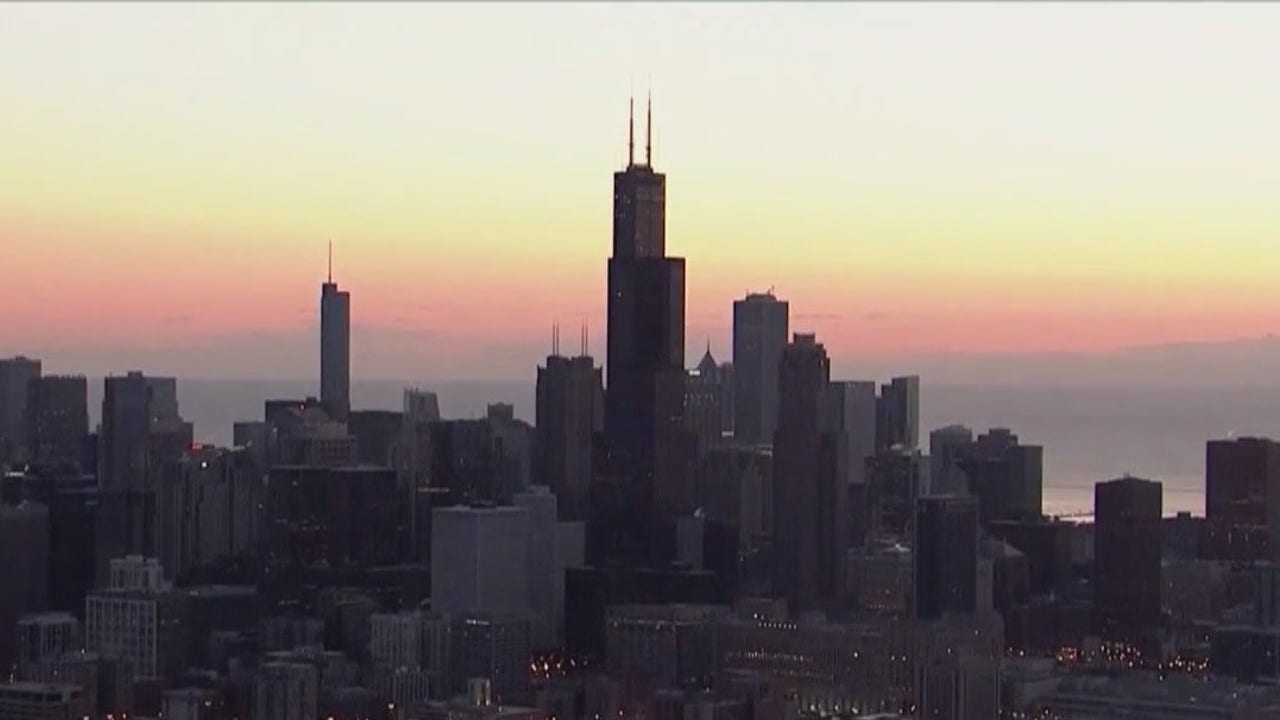
CHICAGO – Wildfire smoke takes center stage again today with an air quality alert in place for Chicagoland.
What we know:
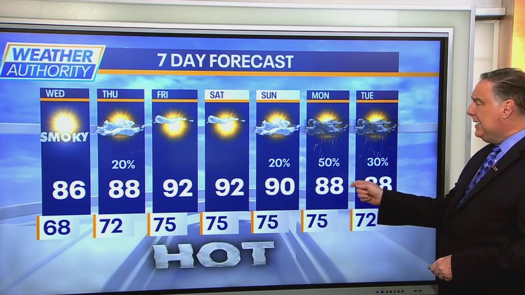
Skies will feature hazy sun and it will be a few degrees warmer than yesterday. Highs should reach into the mid to upper 80s.
Tonight will be clear to partly cloudy with some haze and lows in the upper 60s to low 70s.
What’s next:
A line of thunderstorms will approach from the northwest tomorrow morning but should be in a decaying mode with very little surviving into our area. The rest of Thursday will be mostly sunny and perhaps a bit less smoky with highs in the upper 80s.
On Friday and Saturday it will be downright hot with highs likely exceeding 90° both days and a jump in humidity.
On Sunday, there will be a chance of showers and thunderstorms, but most of the day will be dry with highs in the upper 80s to around 90.
Next week looks to feature above-average temperatures, continuing with no sign of cool weather anytime soon.
The Source: The information in this report came from FOX 32 Meteorologist Mike Caplan.