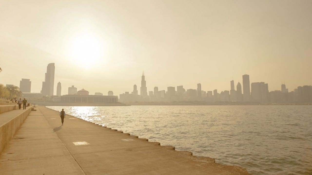
CHICAGO – An Air Quality Alert is active until Thursday night at midnight. People with sensitivities should take precautions.
What to expect:
Wednesday night going into Thursday, we have an Air Quality alert for Cook, Dupage, Kane, Kendall, Grundy, Will, Lake and McHenry counties until midnight for elevated ozone and remnants of wildfire smoke.
Tonight, temps will be falling into the low 70s and a light spritz of rain may make its way into the area by midnight.
Thursday morning may feature some patchy fog once again before sunrise, but temps will surge into the upper 80s for most and potentially reach into the low 90s. We will remain dry through the afternoon, but after 5pm some areas north of I-80 could see an isolated shower or thunderstorm pop up from the northwest.
Thursday night into the early morning hours on Friday, has the best potential for scattered showers and thunderstorms with the main risks being lightning and a brief downpour. Currently, there are no flooding or severe weather-related risks expected as most areas will remain dry.
What’s next:
Clouds will clear our Friday afternoon, leading to heat index values approaching 100℉ due to temps in the low 90s and an uncomfortable amount of humidity left over from morning showers and thunderstorms. Cloud cover should recede by the early evening for a full view of August’s full moon!
A heat advisory may be warranted for Saturday as temps creep into the mid-90s, but cloud cover may very well slow daytime heating enough to stay within the upper 80s. Overnight, isolated showers and thunderstorms are a possibility once again north of I-80.
Sunday temps will rebound into the low 90s once again, before settling into a more active weather pattern to kick off next week.