Friday will be just like Thursday, which was just like the days before that. 😅 Depending on where you are, you may see some scattered showers or just be miserable in the heat.
Friday’s Forecast:
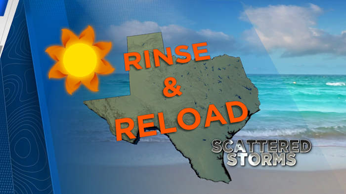
Rain chances are highest for Houston and the southern parts of the region, with a 30 to 40 percent chance of showers. Further north and west, it’s expected to stay a bit drier.
Plan for “wet and stormy” conditions south of Houston, especially if your routine keeps you outdoors in the afternoon—these storms could be inconvenient at times.
If you don’t see storms, it will still be hot with highs in the mid-90s.
Friday Afternoon
We will continue to see this pattern through Saturday before High pressure moves farther west, allowing for more disturbances to enter SE Texas next week.
High will continue to move west this will invite more chances for rainy daysTracking the tropics, tracking the Gulf:
The Atlantic is heating up! There are two areas of concern tracking in the Atlantic basin. Neither are expected to impact the Gulf coast over the next week.
Tropical Outlook
The yellow blob off the east coast has a low chance of development over the next seven days. Even if it does not develop it will create rough surf and an elevated rip current risk along the east coast.
The orange blob in the central Atlantic has a medium chance of developing into a storm over the next 7 days. The futuretrack shows it moving northwest over the next week, so for now we are not concerned.
Tropical model plots for the initial run of a tropical wave. (Copyright 2025 by KPRC Click2Houston – All rights reserved.)
Make sure your family is prepared for whatever comes our way this hurricane season. You can check out our 2025 Hurricane and Flood Survival Guide here.
Your extended forecast:
Behind the rain comes more heat and humidity. As you’re planning your week, the heat remains the big story for Houston, with afternoon thunderstorms always a possibility, especially for those closer to the coast.
10 Day Forecast
If you notice interesting weather in your neighborhood, share your photos and videos with KPRC 2 at Click2Pins!
Anthony’s Weather Lab
More Stories Like This In Our Email Newsletter
Copyright 2025 by KPRC Click2Houston – All rights reserved.