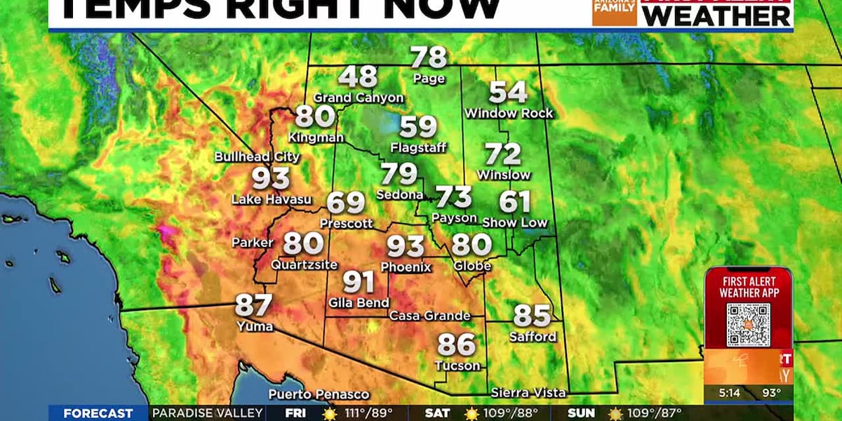
PHOENIX (AZFamily) — After a record-breaking day of heat on Thursday, Valley high temperatures will come down slightly today.
Yesterday’s high of 118 degrees broke a daily record and also set a new record for the hottest day ever recorded in Phoenix in the month of August. It also ties for our hottest day so far this summer.
As high pressure gradually weakens and marginal monsoon moisture returns to the state, slight cooling is expected over the next few days. Look for a Phoenix high of 113 degrees today and near 110 degrees Saturday and Sunday.
Today is the last in a string of First Alert Weather Days for an Extreme Heat Warning that finally expires at 8 p.m. tonight.
Storm chances are best across far southern Arizona, along with the higher elevations of the state. For Phoenix, we have just a 10% chance of isolated storm activity both tonight and Saturday night. However, humidity levels will feel slightly higher and more uncomfortable.
Temperatures are forecast to stay above normal, near about 112 degrees for the start of next week. Storm chances may ramp up by the second half of next week, starting Thursday in the Valley. While chances are still slim at this point, we’re watching for shifting high pressure and a better push of moisture into Arizona that could change that. We’ll keep you posted.
See a spelling or grammatical error in our story? Please click here to report it.
Do you have a photo or video of a breaking news story? Send it to us here with a brief description.
Copyright 2025 KTVK/KPHO. All rights reserved.