High pressure over the Mid-Atlantic keeps us quiet through the rest of the weekend.
Clear skies and calm winds will allow temps to drop into the 50s for many, with 60s around Philly and the shore. Some patchy fog is possible late, mainly over parts of Delmarva.
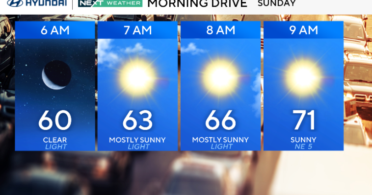
Sunday will be gorgeous — plenty of sunshine, light southerly breezes, and highs in the mid to upper 80s. However, several Pennsylvania counties are under an Air quality alert as light winds and stagnant air could lead to higher ozone levels.

CBS News Philadelphia.
A sea breeze may develop in the afternoon along the coast, knocking temps down a few degrees there.
The warmup continues into Monday and Tuesday as high pressure shifts east. Highs both days will reach the upper 80s to low 90s, with humidity staying moderate at first.
By Tuesday night into Wednesday, it’ll feel more like midsummer, with dew points climbing into the 60s and 70s.
Mid to late week turns hotter and more humid, with highs in the low 90s on Wednesday and heat index values near 100° inland.
A surface trough and then a cold front will bring a better chance for scattered storms late Wednesday into Thursday. The front may stall nearby Friday into Saturday, keeping some storm chances around.

CBS News Philadelphia.
Here’s your 7-day forecast:

CBS News Philadelphia.
Sunday: Sunny. High 89, Low 60.
Monday: Partly cloudy. High 88, Low 62.
Tuesday: Partly cloudy. High 91, Low 66.
Wednesday: A late storm? High 90, Low 72.
Thursday: Isolated storms. High 91, Low 73.
Friday: Isolated storms. High 90, Low 72
Saturday: Isolated storms. High 90, Low 71.
More from CBS News