NATIONAL WEATHER SERVICE
A large south swell is expected to produce high surf along all south-facing shores with surf heights gradually declining today and tonight.
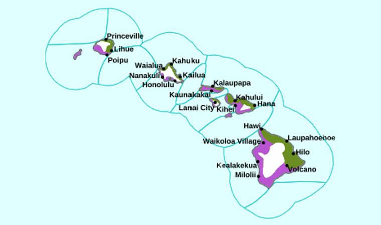
A high surf advisory remains in effect for the south-facing shores of all Hawaiian Islands until Monday, while a coastal flood statement remains in effect for all shores of Hawaii until tonight.
A large south swell is expected to produce high surf along all south-facing shores with surf heights gradually declining today and tonight.
“Peak afternoon high tides, combined with elevated water levels running about a half a foot higher than normal, will lead to minor flooding along most shorelines and low lying coastal areas today. Water levels should fall below thresholds by Monday,” according to the forecast.
The high surf advisory is in effect until 6 p.m. Monday, while the coastal flood statement remains in effect through later tonight.
Expect large breaking waves of 10 to 14 feet this morning and decreasing to 8 to 12 feet this afternoon then 7 to 10 feet by Monday. Low-lying coastal areas are prone to flooding.
“Strong breaking waves and strong currents will make swimming dangerous. Flooding of beaches that are normally dry, minor coastal erosion, and saltwater inundation,” forecasters said.
Don’t miss out on what’s happening!
Stay in touch with breaking news, as it happens, conveniently in your email inbox. It’s FREE!
Precautions to take:
>> Avoid driving through flooded roadways. “If you are forced to drive through salt water, be sure to rinse your vehicle with fresh water,” forecasters said.
>> Move electronics, vehicles or valuables to higher ground.
>> Monitor vessels to ensure mooring lines don’t get too tight. Watch out for overwash around the boat ramps.
>> Secure canoes or other watercraft stowed on beaches.