As temperatures continue to heat up this summer, hurricane season is heating up as well. It’s still the first half of the season, but we’re quickly approaching the peak and the Atlantic is starting to look the part.
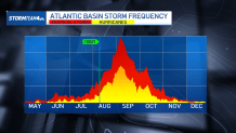
Statistically, the Atlantic hurricane season reaches its peak in early September, when we often have multiple storms churning at once.

Currently the National Hurricane Center is watching two areas in the Atlantic that could turn into tropical systems.
Neither has a huge chance of becoming a named storm over the next 7 days, just a 10% chance for each, but it is indicative of the increased activity we are likely to see in the coming weeks.
![]()
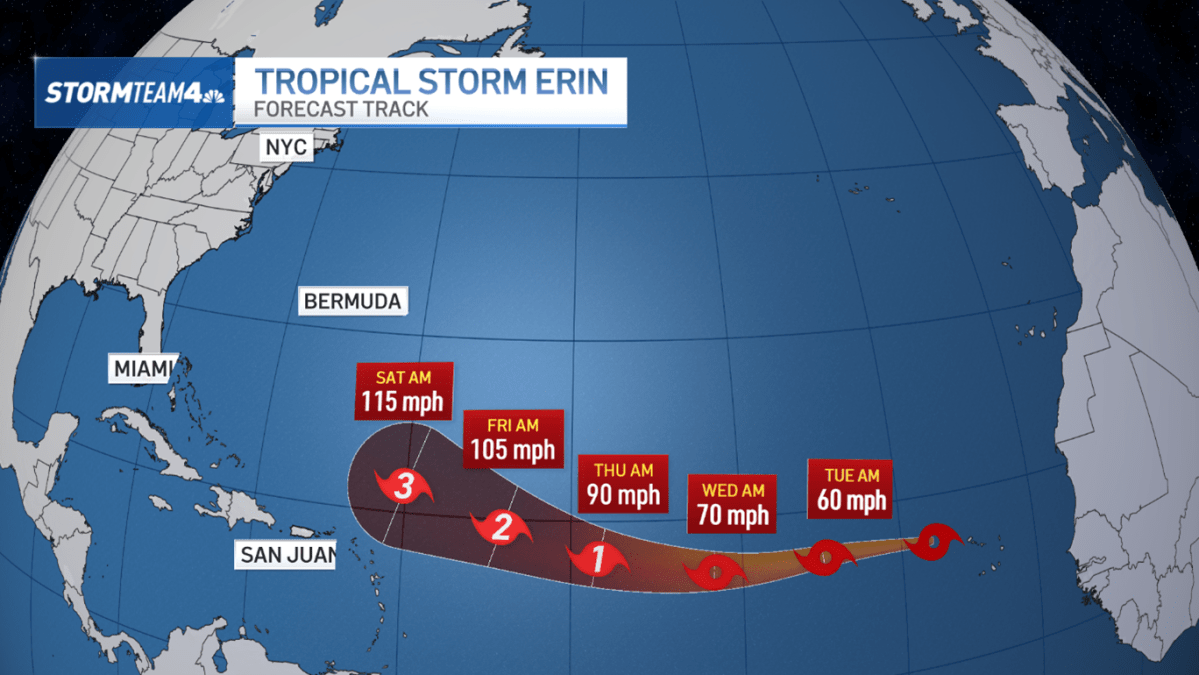
Most notably, we have Tropical Storm Erin in the Eastern Atlantic. It officially developed Monday morning, becoming the fifth named storm of the season.
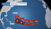
Erin is projected to strengthen and is on track to become not only our first hurricane of the 2025 season as early as Wednesday, but potentially our first major hurricane by the weekend.
Erin will track westward across the Atlantic, though it is not expected to have a direct impact on the United States. But by next week, the tri-state will likely experience high surf and an elevated risk for dangerous rip currents.
Long-range forecast models keep Erin well away from the East Coast. They curve it north and eventually northeastward into the colder waters of the Atlantic, where it will lose its tropical characteristics and eventually fizzle.


Bear in mind that forecasts change over time, so keep an eye on the latest data using the free NBC New York app and stay abreast of any changes in the forecast track over the next week.
NOAA’s forecast for this hurricane season is for 13-18 named storms, 5-9 hurricanes, and 2-5 major hurricanes, which falls pretty comfortably in the range of an average Atlantic hurricane season. We’ve been off to a slow start, though that is not atypical. The vast majority of named storms develop between August and October. As we continue through August, then, don’t be surprised to see our storm tally increase significantly.
But whether we get 2 or 10 or 20 more named storms over the remainder of the season, it only takes one to make a big impact. So as the Atlantic continues to ramp up with tropical activity, we’ll be keeping a close eye on what is developing and what that means for the tristate.
