 article
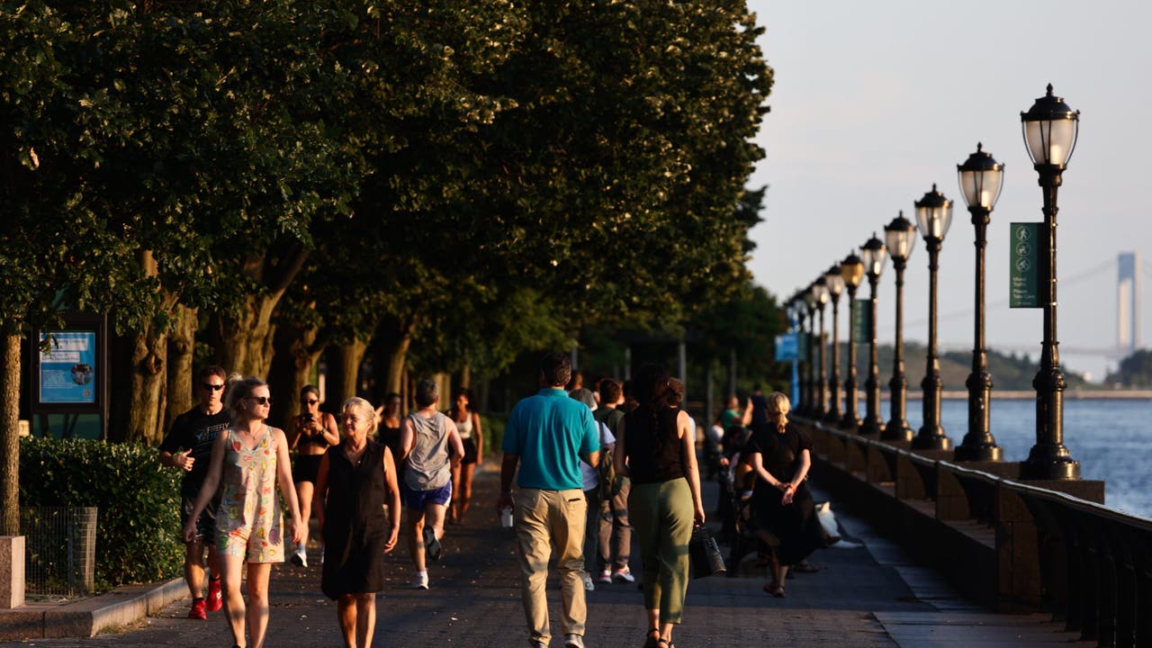
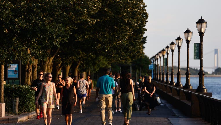
People walk the Battery Park in New York City, United States on July 13, 2024. (Photo by Jakub Porzycki/NurPhoto via Getty Images)
NEW YORK – New York City will soon have more greenways… but what exactly is a “greenway?”
Getting to know greenways
What we know:
Greenways are continuous corridors used for both transportation and recreation, according to New York City’s Department of Transportation – they provide an uninterrupted path between two destinations.
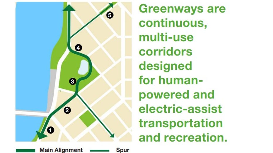
New York City’s Department of Transportation
There are a few different kinds of greenways: high-capacity, local and spurs.
High-capacity greenways are long routes that often have the highest volume of users. Local, or neighborhood, greenways are the main systems with areas that connect to the on-street bike network.
Greenway spurs, in comparison, are shorter segments that connect neighborhoods into the greenway network.
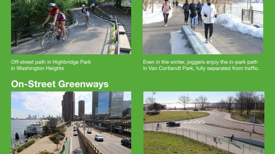
New York City’s Department of Transportation
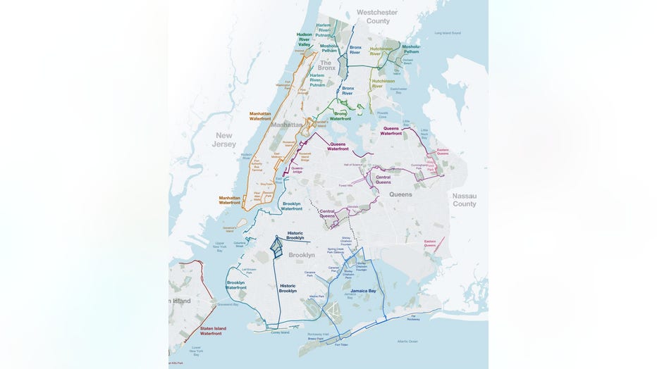
Currently, New York City’s greenway network consists of 15 defined greenway systems that span over 500 miles.
The system currently includes:
- Manhattan Waterfront
- Harlem River-Putnam
- Bronx River
- Mosholu-Pelham
- Hutchinson River
- Bronx Waterfront
- Hudson River Valley
- Queens Waterfront
- Eastern Queens
- Central Queens
- Jamaica Bay
- Brooklyn Waterfront
- Historic Brooklyn
- Staten Island Waterfront
- New Springville
A full map can be seen below:
 ‘Greater Greenways’
What’s next:
The Adams administration announced an expansion of New York City’s greenways in the outer boroughs in 2023.
This expansion will feature six corridors in “historically underserved communities.”
- Staten Island Waterfront
- Harlem River
- Bronx Waterfront
- Queens Waterfront
- Southern Queens
- Historic Brooklyn
The Source: This article includes information from a plan by the New York City Department of Transportation.