Most of the Chicago area is at a “slight” risk of severe weather, with a severe thunderstorm watch issued Monday afternoon.
Those counties include McHenry, Lake, DeKalb, Kane, DuPage, Cook, Kendall, Grundy and parts of Will County, and will run through 6 p.m.
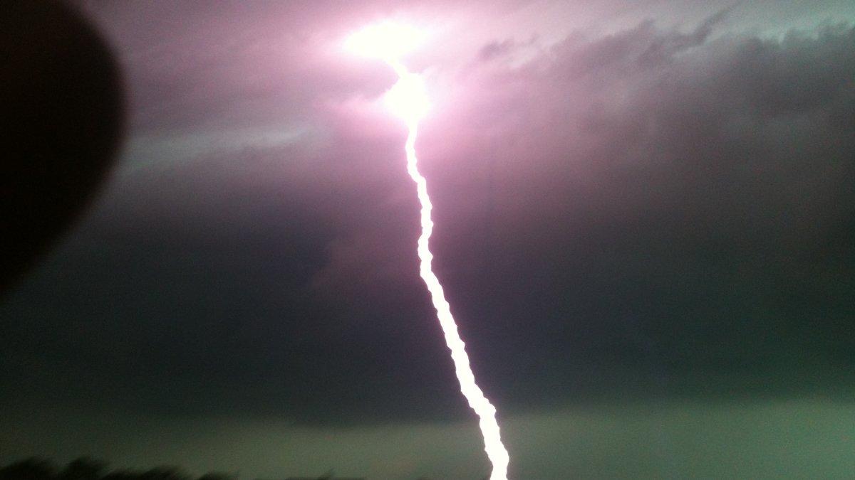
The main threats with storms will be a non-zero tornado risk, along with gusty winds of up to 70 miles per hour, heavy rain and some hail, according to forecast models.
After those storms roll through, there will be a cooldown expected in the Chicago area, with highs dropping into the 70s and humidity levels following suit.
Here’s what you need to know about the week ahead.
Monday Afternoon
Some early showers and storms could develop, but the main threat could arrive later in the afternoon, according to forecast models.
High temperatures Monday are once again expected to be on the warm side, rising into the upper-80s and potentially into the low-90s in some outlying spots.
A severe thunderstorm watch has been issued for most of the Chicago area until 6 p.m., with the National Weather Service warning of a non-zero tornado risk and a risk of wind gusts in excess of 60 miles per hour during the late afternoon and early evening hours.
Heavy rain could also occur, but storms are potentially swinging through at faster speeds than they did over the weekend. Flooding is still possible with storms, especially in areas hard-hit by rain in recent days.
Storms will likely be strongest in areas north of Interstate 80, though other areas could still see strong-to-severe weather, according to forecast models.
Monday Night
Rain is expected to continue into the evening, with parts of the Chicago area still at a marginal risk of severe storms, according to the SPC.
Aside from dangerous wind gusts and the possibility of tornadoes, most of the Chicago area is at an elevated risk of flash flooding because of the storms, as many areas were inundated with rain Saturday night and into Sunday morning, according to NWS officials.
Thunderstorms with heavy rainfall are possible this afternoon through tonight which may lead to flash flooding. Areas with the highest risk of flash flooding due to heavy rainfall include urbanized areas and areas that received heavy rainfall over the weekend. #ILwx #INwx pic.twitter.com/Mbo6O9BEiB
— NWS Chicago (@NWSChicago) August 18, 2025
Tuesday
Showers and storms could linger into the early morning hours on Tuesday, but most of the severe weather threat is expected to have eased out of the area, with faster-moving storms than what occurred over the weekend.
Temperatures will still be on the warm side but with slightly lower humidity, as readings are expected to rise into the low-to-mid 80s, just over seasonal averages for this time of the year.
Notably, overnight lows from Tuesday and into Wednesday will be a bit cooler, dipping into the 60s and providing the first hint of a respite from the hot and humid conditions the region has dealt with in recent days.
Wednesday/Thursday
The week’s cooldown will provide some welcome relief from heat and humidity, with two days of dry weather expected.
According to forecast models, temperatures could be below normal on both days, with readings in the mid-to-upper 70s on Wednesday and perhaps slightly warmer on Thursday.
Humidity is also expected to decrease again, giving residents a break from miserably high dewpoints.
Friday
After a few days of temperatures in the upper-70s or around 80 degrees, those readings are expected to take a step up on Friday, with highs rising back into the mid-80s.
At this time, it appears that any rain chance will hold off until Saturday.
Saturday
Saturday is expected at this time to see the next shot at rain in the Chicago area, though at this time it does not appear that there will be a threat of severe weather.
High temperatures will still be in the mid-80s, which could provide modest fuel for any storms that do develop, according to the NBC 5 Storm Team.
Sunday and beyond
After Saturday’s rain, temperatures are expected to cool off once again in the final week of August, with highs in the 70s and dry conditions for most of the week, according to extended forecast models.
The Climate Prediction Center is expecting, with modest confidence, that the following week will be cooler than normal, with the average daytime high in Chicago in the final week of August checking in around 81 degrees.