It’s been more than 50 years since the passage of the Clean Water Act, but New York City’s waterways continue to face contamination from combined sewer overflows.
Thirty city waterways are now set to be reclassified by the State Department of Environmental Conservation in an unprecedented effort to expand areas protected for swimming and fishing.
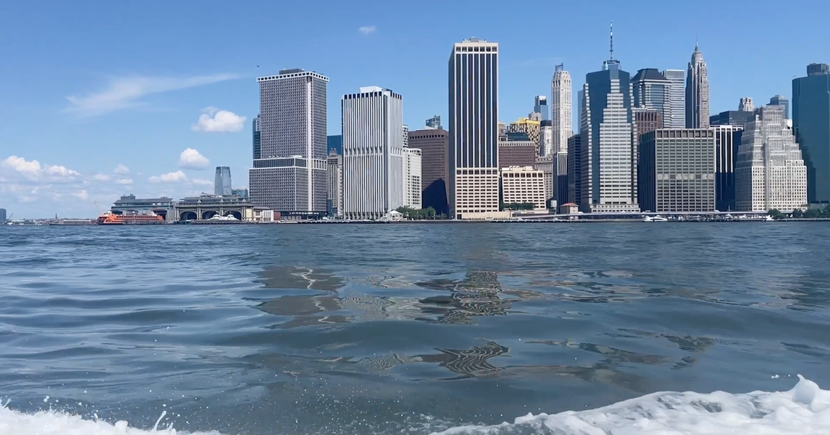
Patterns of contamination identified in NYC waters
On a recent trip along the East River and Gowanus Canal, Riverkeeper’s community science manager Sebastian Pillitteri gathered water samples to measure salinity, dissolved oxygen, temperature, pH and bacteria that can indicate raw sewage.
“One of the things that our data are answering … is how is the water for swimming?” Pillitteri said. “Prior to the start of our sampling program, there was nobody collecting data [in] a systemic way.”
The collection effort, covering 247 locations across the state, helps watchdogs identify patterns of contamination and track overall water health.
“Our water quality is improving. It’s been improving drastically over the last 30 years,” said Em Ruby, Riverkeeper’s Senior Advocacy and Policy Coordinator. “And this is largely due to improvements that the city has made and up-river communities have made in treating combined sewer overflows.”
“This is part of a larger effort that the state has been undertaking around all of our water statewide to make sure that we are complying or following or adhering to the goals of the Clean Water Act to make all waters swimmable and fishable,” said Stephanie June, DEC’s Director of Water Assessment and Management.
Still, June noted the challenges of dealing with aging infrastructure.
“Trying to address that infrastructure that is underneath all of the development and the businesses and the homes. And also dealing with other utilities like drinking water, transportation and electricity really does complicate the issue at hand here,” she said.
A major step for recreation in the city
While cleaner water doesn’t always guarantee safe swimming conditions due to rainfall, currents and boat traffic, advocates say the reclassification marks a major step forward for recreation in a city surrounded by water.
“There’s 520 miles of coastline across New York City, and it’s really important to know how the water quality is doing in each of these areas,” Ruby said.
The DEC plans to file a notice of adoption by Sept. 30, with the new classifications expected to become official about two weeks later. The first batch will cover 30 waterways, though some areas, including Newtown Creek on the Brooklyn-Queens border, are not on the initial list.
Officials say additional reclassifications will follow in phases through 2030.
Have a story idea or tip in Brooklyn? Email Hannah by CLICKING HERE.
More from CBS News