PHOENIX (AZFamily) — Today marks the first of three First Alert weather days, with dangerously hot temperatures expected. An Extreme Heat Warning begins this morning and continues through Friday evening.
Look for a high of 111 degrees in the Valley today, with temperatures climbing to 112 degrees on Thursday and Friday. Those temperatures are within a degree or two of records for this time of year in Phoenix. Morning lows will also flirt with records, being unseasonably warm in the upper 80s to low 90s through the weekend.
Strong high pressure is building over the Four Corners region, bringing hot temperatures but also monsoon moisture. Storm chances today and tonight for the Valley are only around 10 percent, but they climb to 20 percent on Thursday and 30 percent on Friday. More widespread monsoon storm activity is also expected over the next few days in the higher elevations.
An active weekend is ahead in the mountains of our state as monsoon moisture becomes more plentiful with a decent easterly and southeasterly flow setting up. This will keep storm chances in the Valley near 30 percent both Saturday and Sunday.
Temperatures could cool slightly this weekend because of the potential for rain, with highs currently forecast to be near 110 degrees. The National Weather Service may extend the Extreme Heat Warning through the weekend if we don’t see a bit more cooling from clouds and humidity.
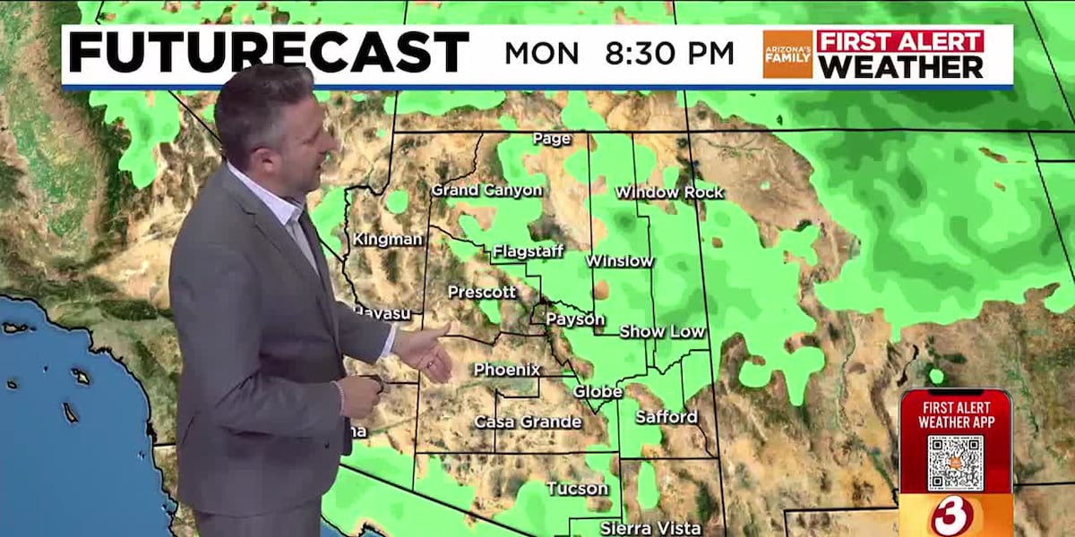
Early next week, high pressure is set to weaken, which will bring temperatures down to about 107 degrees by Monday and to below-normal, near 102 degrees, by Tuesday. There are also signs that monsoon storm chances will climb a bit toward the middle of next week. We’ll keep you posted.
See a spelling or grammatical error in our story? Please click here to report it.
Do you have a photo or video of a breaking news story? Send it to us here with a brief description.
Copyright 2025 KTVK/KPHO. All rights reserved.