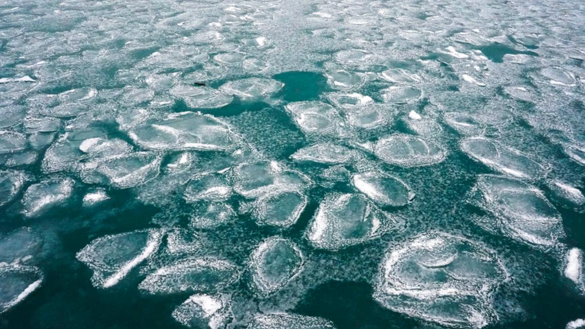
La Niña typically brings cooler, wetter conditions to the northern U.S. while causing warmer, drier weather in the southern states.
WASHINGTON — Federal weather forecasters are watching for signs that this winter could be colder and snowier than usual across the northern United States.
The National Weather Service’s Climate Prediction Center issued a “La Niña Watch” last week, meaning conditions are becoming favorable for a weather pattern that typically brings harsher winters.
La Niña happens when ocean waters in the Pacific get cooler than normal. La Niña typically brings cooler, wetter conditions to the northern U.S. while causing warmer, drier weather in the southern states. The pattern can also affect the jet stream, leading to more active storm systems in some regions.
El Niño is the warm phase of the same meteorological phenomenon.
The weather pattern could develop sometime between now and early winter, forecasters said. They estimate a 56% chance of La Niña occurring.
Right now, Pacific Ocean temperatures are in a neutral phase. Weather experts expect more cooling through the fall as seasonal wind patterns strengthen. Long-range forecasts show the possibility that weather will revert to normal patterns later in the winter.
A rare “triple dip” La Niña lasted for three straight years, from 2020-2023, bringing several major snowstorms and prolonged cold snaps.
Forecasters stress that this is still just a watch, not a guarantee. They’ll continue monitoring ocean temperatures over the coming months to see if the pattern actually develops.
For now, fall temperatures are expected to be warmer than average across most of the country. But if La Niña does emerge, winter weather could be a different story.