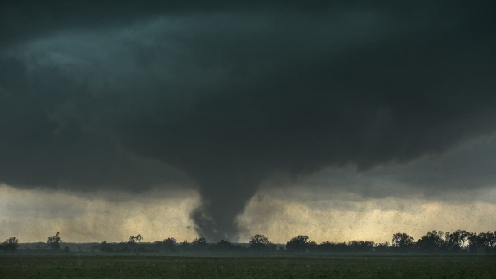
A possible tornado was spotted near Jacksonville, Florida, on Saturday amid the National Weather Service’s warning for Duval County. Residents were asked to take cover immediately, and videos of a storm and heavy rainfall surfaced on social media.
") A massive tornado was spotted near Jacksonville on Saturday(Unsplash)
A massive tornado was spotted near Jacksonville on Saturday(Unsplash)
“Tornado Warning continues for Duval County, FL until 6:15 PM EDT,” the NWS said on X, platform formerly known as Twitter.
Read More: Why Donald Trump nominated 38-year-old Sergio Gor as US ambassador to India. What experts said
Meanwhile, the NWS has issued several flood advisories on Saturday evening as strong thunderstorms brought heavy rainfall to parts of Florida and Georgia, leading to minor flooding concerns in multiple counties.
Read More: Trump ‘light at the end of the tunnel’: Putin’s praise for US president amid Ukraine war
In Duval and St Johns counties, Florida, a flood advisory remains in effect until 8:15 PM EDT. Forecasters reported between 1 and 2.5 inches of rain had already fallen, with an additional 1 to 1.5 inches expected. Communities including Jacksonville, St Augustine, Ponte Vedra Beach, Nocatee, and Vilano Beach are at risk of ponding on roads and flooding in low-lying areas.
Farther west, in Bradford and Clay counties, Florida, heavy storms prompted a flood advisory effective through 7:45 PM EDT. Doppler radar estimates show 1 to 3 inches of rainfall, with another 1 to 2 inches possible. Areas such as Starke, Keystone Heights, Camp Blanding, and Hampton could see temporary flooding.
Read More: ‘Deport Harjinder supporters’: Counter-petition launched after trucker gains online sympathy
In south central Georgia, the NWS Tallahassee office issued a flood advisory for Berrien, Irwin, and Tift counties until 9 PM EDT. Forecasters warned of minor flooding from thunderstorms moving across Tifton, Ocilla, Enigma, Alapaha, and surrounding communities.