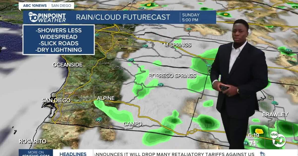
San Diego is in for more hot and humid weather today. Showers and thunderstorms will most likely stay in the mountains and deserts. We get cooler and drier late this week.
Yesterday set a few temperature records! Here are the places that or tied temperature records yesterday, according to the National Weather Service:
Chula Vista- 94°
Vista- 100°
Escondido- 110°
Ramona- 103°
Check out more temperature records here.
We also picked up some light rain totals for parts of the north county, but showers were spotty yesterday.
This morning we’re once agains starting off warm. The heat alerts are gone, but it will still get nearly as hot as yesterday.
The coast will reach around 80°, with inland highs in the low 90s.
The mountains will see more low 90s, while the deserts can expect triple digits.
There’s another chance for showers and thunderstorms. But today there’s less moisture in the atmosphere to fuel storms, so they’ll most likely stay contained to the mountains and deserts.
Chance of showers spikes tomorrow, before a cooling and drying trend emerges.
By Thursday, no more rain is expected. For the end of the week, temperatures and humidity will drop back to normal!
Sunday’s Highs:
Coast: 77-84°
Inland: 88-96°
Mountains: 85-97°
Deserts: 104-110°
Follow ABC 10News Weather Anchor Moses Small on Instagram, Facebook and Twitter.