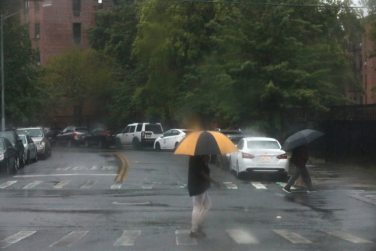
A high risk of rip currents persists through Sunday evening along Staten Island’s beaches, with the potential for scattered showers and isolated thunderstorms late Sunday into Monday morning, according to the National Weather Service (NWS).
The NWS forecast indicates a cold front will slowly approach Staten Island on Sunday, bringing a slight chance of precipitation. Temperatures are expected to remain near or slightly below normal, with winds from the south at 8 to 12 mph and occasional gusts up to 20 mph. The most likely areas to see precipitation will be in the western parts of the region, with minimal rainfall expected in Staten Island.
Residents should exercise caution at Atlantic Ocean beaches due to the continued high risk of rip currents through Sunday evening. The NWS warns of long-period easterly swells around 3 to 4 feet that could create dangerous swimming conditions. By Monday, the rip current risk is expected to decrease to moderate levels.
For New York City, the forecast suggests mostly dry conditions with occasional cloud cover. Temperatures will hover in the mid-70s, with a gradual transition to cooler, more stable weather as high pressure builds in from the Central Plains.
The extended forecast indicates a stable weather pattern will dominate through the week, with predominantly clear skies and temperatures remaining near seasonal averages. No significant storm systems are anticipated, providing favorable conditions for outdoor activities.
Residents should continue to monitor local weather updates and be prepared for potential brief, isolated showers during the early Monday morning hours.
If you purchase a product or register for an account through a link on our site, we may receive compensation. By using this site, you consent to our User Agreement and agree that your clicks, interactions, and personal information may be collected, recorded, and/or stored by us and social media and other third-party partners in accordance with our Privacy Policy.