
CHICAGO – Talk about a Fall preview! Temperatures on Sunday morning ranged from the low 50s to near 60 degrees and high temperatures only warmed into the low to mid 70s across Chicagoland. Typically, for late August, average high temperatures are in the lower 80s, so we’re running about 8 to 10 degrees below normal today.
Full Forecast:
Tonight will be partly cloudy with just a slight chance for an isolated shower this evening. Temperatures will plummet to the mid to upper 40s inland and away from the Chicago metro, but we’ll hold onto low to mid 50s in Chicago and the immediately surrounding suburbs.
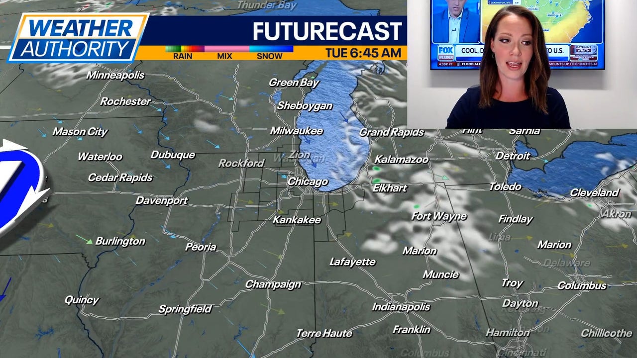
The Fall-like feel is here to stay for at least a few days. Afternoon temperatures on Monday and Tuesday will be in the low 70s following morning low temperatures in the 40s and 50s. There is also a small chance for a few lake-effect rain showers to develop and impact northwest Indiana.
Due to gusty north-northwest winds, a Beach Hazard Statement has been issued for all northwest Indiana Lake Michigan beaches through Monday evening, with the exception being LaPorte County, where it will remain in effect through Tuesday evening. Waves as high as 3-6 feet will be possible.
Temperatures begin to slowly moderate mid to late this week with highs in the mid 70s on Wednesday, and then mid to upper 70s on Thursday. There is a small chance for a few stray showers Wednesday night into Thursday, but it does not appear like a widespread rain.
Skies dry out again by Friday with highs in the mid 70s. As of now, the weekend looks dry with partly sunny skies and highs in the mid 70s Saturday to near 80 on Sunday.