PHOENIX (AZFamily) — Slight rain chances continue today for the Valley before drier and warmer weather arrives for the second half of the workweek and most of the holiday weekend ahead.
Another round of late-night thunderstorms dropped rain in parts of the Valley. Some neighborhoods picked up almost an inch. No more rain is expected this morning, but there is a slight chance of a few isolated showers and thunderstorms this afternoon. Chances are only near 10% for the Valley. Look for a high of 101 degrees today.
Scattered showers and thunderstorms continue today in the mountains of our state. We’ll get additional moisture to fuel storm activity tonight through tomorrow thanks to decaying Tropical Storm Juliette off the Baja Peninsula. For the Valley, this will likely just mean additional cloud cover Thursday.
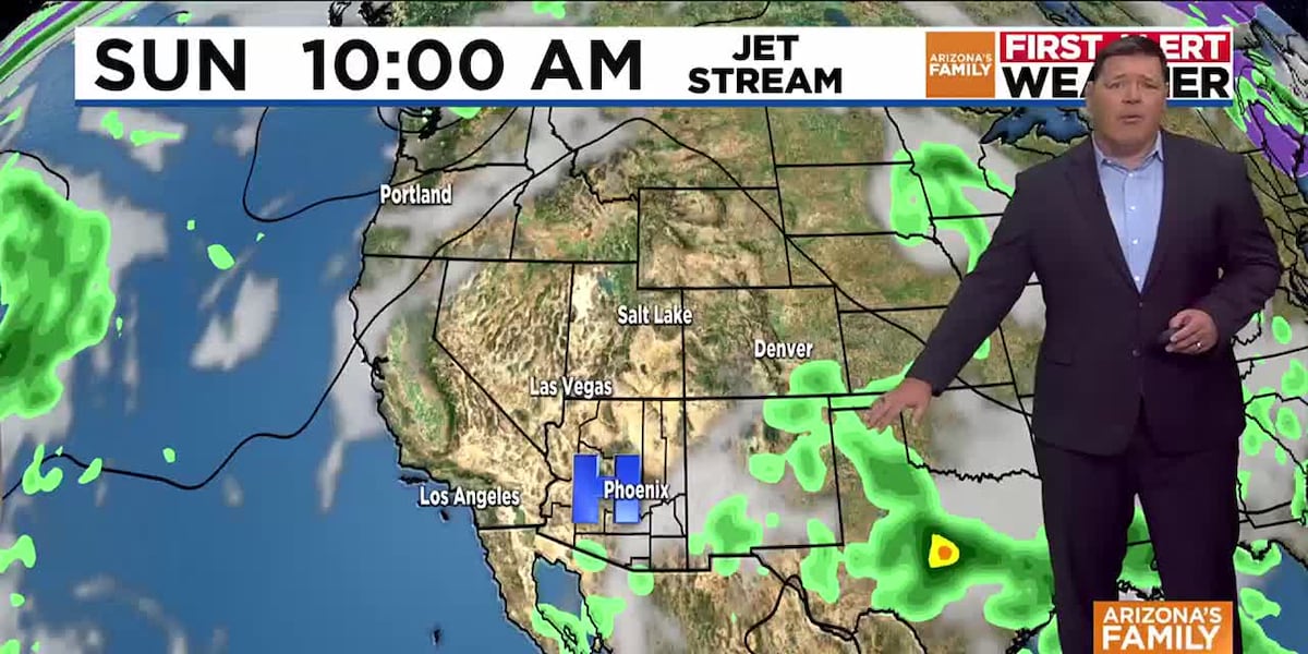
Activity overall will decrease across the state for Friday through Sunday statewide before our next boost of monsoon moisture arrives on Labor Day. Storm chances are near 50% in most mountain communities on Monday and near 10-20% on Labor Day in the Valley. Storm chances could climb higher in the deserts of the state by Tuesday and Wednesday. We’ll keep you posted as we get closer.
Temperatures are set to climb to 104 to 105 on Thursday and Friday, which is close to normal or average for this time of the year in Phoenix. Above-average temperatures are expected this weekend, peaking near 109 degrees. With the added moisture, temperatures should come down slightly to near 107 degrees by Labor Day in the Valley.
See a spelling or grammatical error in our story? Please click here to report it.
Do you have a photo or video of a breaking news story? Send it to us here with a brief description.
Copyright 2025 KTVK/KPHO. All rights reserved.