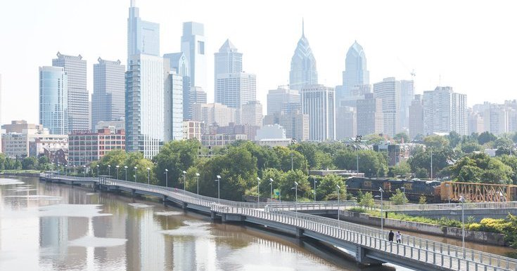
Summer in Philadelphia got off to a blazing start, topping 100 degrees once in June and hitting 98 twice in July, but the city is entering Labor Day weekend at the end of an unusually cool August.
The National Weather Service in Mount Holly said Friday that the region as a whole is experiencing the coolest August it’s had in about 10 years. The final few days of the month will settle where this August lands historically, but as of Friday it’s Philly’s coolest since 2017.
MORE: A 60-foot-tall sculpture in Northern Liberties now glows on the Delaware River waterfront
Using readings from Philadelphia International Airport, the mean temperature in the city so far this month has been 75.4 degrees — which is 1.6 degrees below normal.
The average daily high for August is about 84 degrees, with the maximum reached in the month typically around 95 degrees.
This August, there have already been seven days in Philly with a high temperature under 80 degrees — the most since there were nine days under that mark in 2017.
There have been 20 days this month with a low temperature below 70 degrees, the most since there were 23 days that fell below that temp in 2017. Normally, the lowest temperature for August is 60 degrees. Thursday’s low reached 59 degrees, and the highest temperature reached this month was 94 degrees.
“It really just boils down to the pattern we’ve had,” NWS meteorologist Alex Staarmann said. “The first two weeks of the month were probably the most noticeably cool. We had pretty persistent high pressure over southeastern Canada and New England. Whenever we get that kind of a setup, it tends to result in a lot of onshore winds, which we had for about two weeks — constantly east winds coming right off the ocean.”
Staarmann said the high pressure pattern and winds explain why some coastal areas, including Atlantic City, are on track for their coolest August in 30 years.
NWS considers the climatological summer to be June through August. The mean temperature in Philly in June was 75.4 degrees, which was 1.9 degrees above normal. The mean for July was 81.9 degrees, which was 3.2 degrees above normal. Temperatures this summer often felt hotter than the readings at the airport, which don’t take into account “real feel” factors including humidity, cloud cover and wind.
This summer’s mean temperature has been 77.6 degrees despite the recent cool down. That’s higher than the usual summer mean of 76.7 degrees.
“June and July were so hot that it’s still not quite offsetting,” Staarmann said. “If this month had been really hot, then we could be looking at close to record territory.”
The Labor Day weekend forecast in Philly calls for a sunny Saturday with a high near 76 and another sunny day on Sunday with a high of 78. Labor Day will be mostly sunny with a high of 79. If the forecast holds, this August would likely end up being Philly’s coolest since 2014.
Despite the cooler month, Staarmann said Philly shouldn’t sleep on temperatures possibly heating up in early September. In 2023, the hottest recorded temperatures of the year in the city were in early September, when it hit 96 degrees on Sept. 4 and 97 degrees on Sept. 7.
“This August doesn’t necessarily translate to any (pattern) like it being a cool or wet fall,” Staarmann said. “We could end up having an above-normal September.”