Mainly clear and mild with fog developing toward daybreak, more showers on the way
Mainly clear and mild with fog developing toward daybreak, more showers on the way
03:36
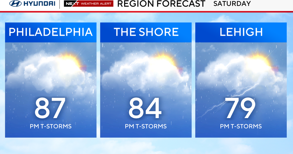
Saturday is another warm and humid day in the upper 80s to near 90s with more showers and storms crossing the region in the afternoon and evening as a strong cold front approaches, then crosses the area.
As the storms develop, the biggest threat will be damaging winds, but the Storm Prediction Center also has small chances for large hail and an isolated tornado.

CBS News Philadelphia.
Flooding rains may also be an issue, so stay weather aware.
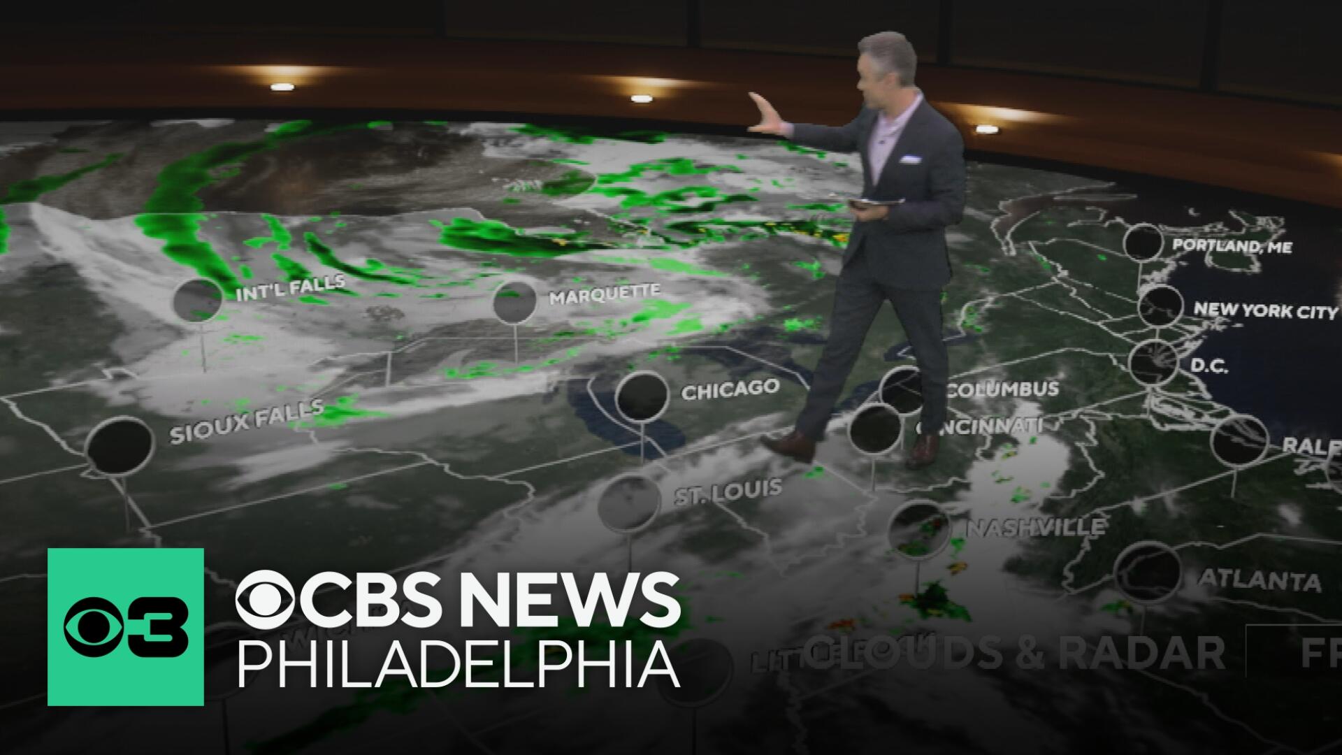
Models continue to hint at the front stalling Saturday night into Sunday morning as a new low develops offshore. This would keep rain chances in the forecast Saturday night and likely showers lingering into Sunday morning, if not midday.

CBS News Philadelphia.
By late Sunday afternoon, much cooler and drier air arrives with clouds giving way to sunny skies and highs in the low 70s.
Next week will return to fall-like weather with morning lows in the 50s and daytime highs in the 70s.

CBS News Philadelphia.
Here’s your 7-day forecast:

CBS News Philadelphia.
Saturday: NEXT Weather Alert for afternoon storms. High 87, Low 71.
Sunday: A.M. showers. High 74, Low 63.
Monday: Sunny, cool. High 77, Low 55.
Tuesday: Partly sunny. High 78, Low 55.
Wednesday: Sun and clouds. High 76, Low 58.
Thursday: Mostly sunny. High 81, Low 57.
Friday: Sun and clouds. High 79, Low 58.
More from CBS News