Selcuk Acar /Anadolu via Getty Images
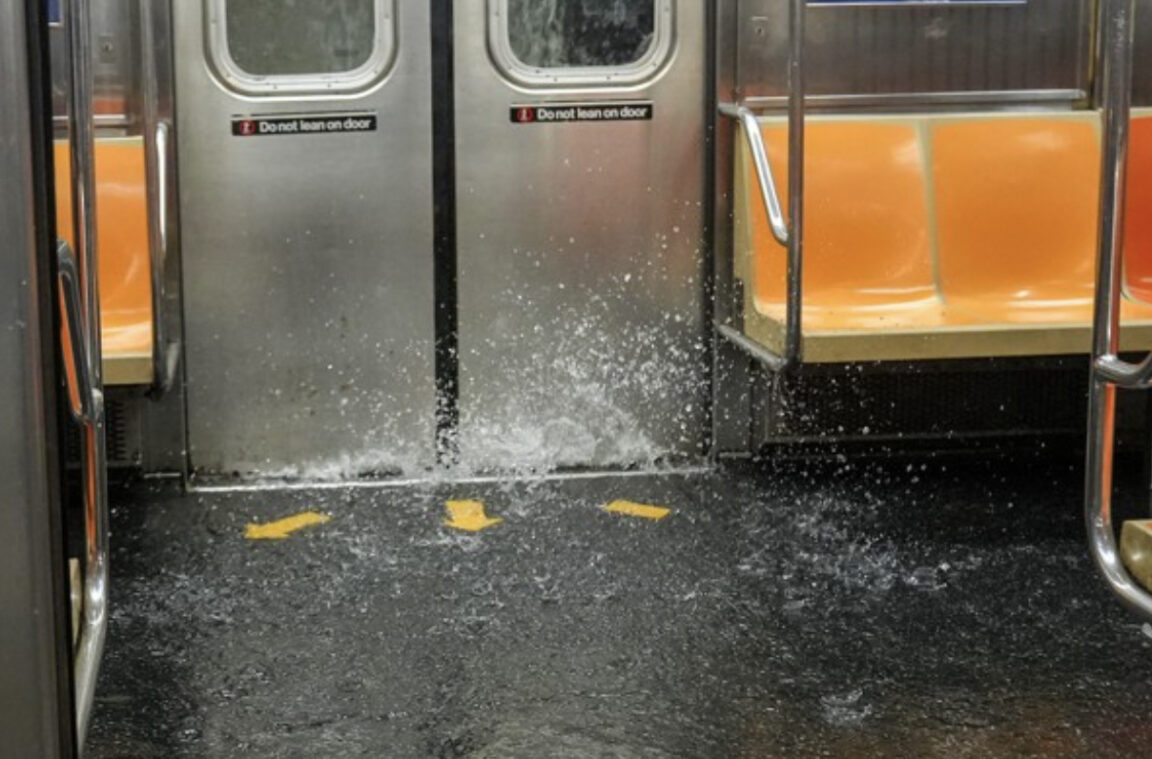
A 6 train floods during a July 31 downpour.
When it rains, it pours. The metaphor carries new meaning as climate change drives an increase in extreme rainstorms in the Northeast.
Twice in July, flash floods hit New York City. On July 14, more than 2 inches of rain fell in a single hour at Central Park, the second-highest amount ever recorded, only trailing the remnants of Hurricane Ida, which killed 13 people in 2021. At the end of the month, severe downpours flooded the city again, prompting a state of emergency. Social media lit up with scenes of water cascading into subway stations and shooting up like geysers from overwhelmed sewer pipes. Cars and trucks were partially submerged on some highways. Intersections in low-lying neighborhoods once again turned into lakes.
Extreme rain events are happening more frequently in New York. According to one study, there has been a 60% increase across the Northeast in extreme rain since the 1950s. Emergency management officials said this is New York’s new normal. “A warmer climate means that there’s more moisture in the air. More moisture in the air means you have more rainfall, and it also means you have higher rates of rain,” said Zach Iscol, commissioner of New York City Emergency Management. “Our infrastructure was designed decades ago to handle rainfall rates of 1.7 inches of rain an hour. We’re now seeing storms, and multiple storms a year, where we get rainfall rates of over 2 inches, 2 to 3 inches an hour for a prolonged period of time, and that can cause flash flooding.”
Read the full story on City & State New York.