On the heels of a cooldown, the Chicago area will get a taste of summer-like weather this weekend, but it won’t arrive immediately.
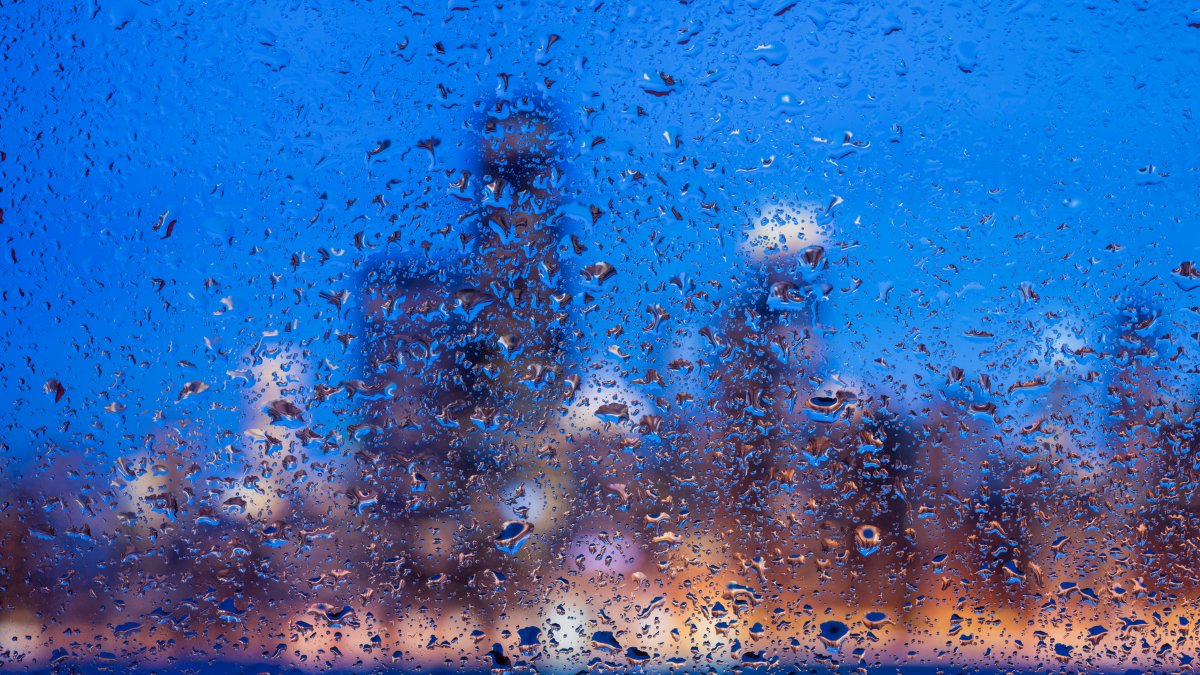
Chicagoans woke up to stormy conditions Saturday morning as multiple rounds of thunderstorms moved across the region and brought the potential for downpours and lightning strikes, according to the National Weather Service.
NBC 5 Storm Team Meteorologist Pete Sack warned some thunderstorms could produce gusty winds, which could in turn lead to downed branches. With the storms slated to continue through part of the afternoon, the NWS issued a reminder to residents, saying it’s safest to move indoors if you hear thunder – and remember to use caution while driving in heavy rain.
The rain and accompanying storms were expected to give way to a clear evening; showers were expected to move out around 3 to 4 p.m., so they wouldn’t spoil an entire day of plans.
Expect t-storms to affect blue shaded area, roughly near/north of an Ottawa-Kankakee-Rensselaer IN line, thru ~9 AM CDT. Strongest storms will produce gusty winds capable of downing small-medium sized branches & moving light objects. Also localized ponding on roads. #ILwx #INwx pic.twitter.com/aS0scuRinR
— NWS Chicago (@NWSChicago) September 13, 2025
High temperatures will likely rise to around 80 degrees, making for an especially nice night, Sack said.
A dip in temperatures could occur overnight, with a low of 60 degrees expected before a round of fog possibly moves in. Sunshine will prevail in the afternoon, making summer-like weather stick around even longer.
Highs will reach the low 80s, Sack said, though temperatures will likely be a couple degrees cooler near the lake. Warm and enjoyable conditions are on tap through the evening and into Monday, which could see highs around 90 degrees.
If you’ll be sending kids to school, make sure they have something cool to wear, Sack said, noting temperatures in the mid 80s will likely persist under mostly sunny skies.
Monday will mark the start of continued warmth.
Highs will sit in the mid 80s both Tuesday and Wednesday before a slight dip in temperatures arrives.
Thursday, meanwhile, will bring values in the low-to-mid 80s, along with a chance of rain. The better chance of showers will arrive on Friday as temperatures dip into the high 70s, meteorologists stated.
We’ll see continued showers next weekend, along with a continued cooldown. Highs are expected to only reach the low 70s, Sack said.