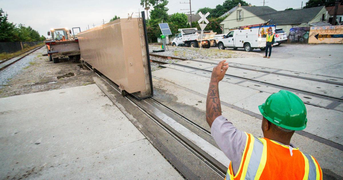
Scientists have made an unsettling discovery about parts of New Orleans’ $15 billion hurricane protection system: They’re sinking faster than sea levels are rising.
Using radar measurements taken from satellites, new research published Friday from Tulane’s Department of River-Coastal Science and Engineering and California Institute of Technology’s Jet Propulsion Laboratory measured land elevation changes along the metro area’s storm surge protection system. In certain areas, floodwalls are sinking at a rate of up to 28 millimeters a year.
That’s up to ten times faster than sea levels are rising due to climate change, the researchers note.
The massive system of levees, floodgates and pumps, known as the Hurricane and Storm Damage Risk Reduction System (HSDRRS), was designed and built after Hurricane Katrina in 2005. Its aim is to protect the city from a so-called 100-year storm, one that has a 1% chance of occurring in any given year. As the climate heats, hurricanes are becoming stronger, scientists say.

NEW ORLEANS-AREA LEVEES, FLOODWALLS: Seventeen years after Hurricane Katrina, the U.S. Army Corps of Engineers is handing over to the state its completed $14.5 billion hurricane protection system surrounding New Orleans. The system, including levees, gates and floodwalls, is designed to protect New Orleans and the surrounding area from a 100-year storm.
BY DAN SWENSON | Graphics Editor
A couple dozen millimeters per year might not sound like much, but combined with rising seas and the loss of wetlands, the scientists say the subsidence of land that makes up the levee systems could “pose a long-term threat” to the flood protection system. When it comes to the levees, every inch counts.
Subsidence, the gradual sinking of land, is a longstanding challenge in New Orleans, where natural and human-made factors combine to lower ground elevations over time.
“Some sections seem to be very stable and some sections seem to be going down relatively rapidly,” said Mead Allison, the chair of Tulane’s Department of River-Coastal Science and Engineering and a co-author of the study.
Allison noted that some of the sinking they’re measuring in the levee system likely has to do with the fact that the floodwalls are fairly new — construction on the system was only declared complete in 2022. He said that it isn’t yet clear how much of the sinking is due to short-term settling after construction versus longer-term subsidence trends.
If the subsidence is long-term, he cautioned, that could pose problems for the flood protection system years from now, especially when combined with future sea-level rise.
The highest rates of elevation loss are taking place near the floodwalls built adjacent to Louis Armstrong International Airport in Kenner, along the earthen levees in New Orleans East, the St. Bernard Parish floodwalls on the East Bank, and a section of the West Bank levees along the Mississippi.
The flood protection system is managed jointly by two regional flood protection authorities, known as the Southeast Louisiana Flood Protection Authority-East, which oversees the system on the East Bank, and the Southeast Louisiana Flood Protection Authority-West for the West Bank. The U.S. Army Corps of Engineers built the system and contributes to its maintenance. The Corps recently fixed the massive pumps at the ends of the city’s outfall canals.
Aerial view of the 1.8-mile-long Lake Borgne Surge Barrier. The Army Corps of Engineers is allowing Louisiana to use part of the costs of building several major coastal restoration projects as credit for part of the state’s share of the cost of building the post-Katrina hurricane levee system. (Photo by David Grunfeld, NOLA.com | The Times-Picayune archive)
PHOTO BY DAVID GRUNFELD
The West Bank authority said that it was aware that subsidence is affecting sections of the levee system.
“For this reason, we funded a lift program from 2016 to 2019 prior to the Army Corps’ armoring of the West Bank levees to maximize the height of individual levee segments,” a spokesperson for the authority said in a statement. The agency is now working to raise two additional sections of levee.
Stacy Gilmore, a spokesperson for the the East Bank authority, said that the study’s findings underscore “the critical need for ongoing monitoring, maintenance, and investment to preserve the strength and reliability of the infrastructure that safeguards our region,” and noted that the agency is currently working with the Coastal Protection and Restoration Authority and the Corps on plans to raise the levees.
The Corps said that the local agencies regularly monitor the height of the levees, and noted that the federal agency recently assessed the cost of maintaining 100-year storm protection through the year 2073 for both sides of the river at about $4.2 billion.
Wetlands loss and human activity
Besides the levees, an area of wetlands in St. Bernard Parish that form a storm surge buffer for New Orleans also appear to be subsiding, the study found.
Allison noted that measuring the elevation of wetlands is difficult to do, because vegetation and water levels in the marsh vary seasonally. But the rates of subsidence the team measured in some areas could spell the end of some wetlands if subsidence continues.
“There’s going to be some debate as to why that’s happening, but certainly it’s true that if those rates continue, those areas are not that high above sea level,” Allison said. “They will convert to open water.”
The researchers also identified human activity as a possible driver of localized subsidence. An area where an Entergy power plant was pumping up groundwater for cooling was sinking rapidly until 2016, when the plant shuttered. Since then, the area appears to have gained some elevation as the water table recovered.
The study notes that the Louisiana Coastal Master plan, the state’s comprehensive blueprint for restoring its coastline, estimates subsidence rates in the New Orleans East area at around 2 to 6 millimeters of sinking per year. The researchers identified some areas in the East where subsidence appears to be taking place at a rate that is substantially faster than what the Master Plan estimates.
Allison emphasized that the method they used — measuring land elevation with radar beamed from satellites — can only give an indication for whether land is rising or falling, not for the reason that elevation is being gained or lost. The study found some minor elevation gain in the Central Business District, for example, which might be attributed to roads being repaved rather than elevation gained due to geologic factors.
While the research may have its limitations, Allison said it offers enough insight to justify closer scrutiny of the flood protection system.
“I think it’s a wake-up call that the levee authority needs to look into this. It’s not some catastrophic thing,” he said. “It just calls for continued regular monitoring.”