United States
  • Europe
  • News
  • US
  • World
  • Business
  • Technology
  • Science
  • Entertainment
  • Sports
  • Health

Categories

  • Artificial intelligence
  • Arts and design
  • Books
  • Business
  • Celebrities
  • Chicago
  • Computing
  • Dallas
  • Economy
  • Entertainment
  • Entrepreneurship
  • Environment
  • Fitness
  • Fort Worth
  • Gadgets
  • Genetics
  • Golf
  • Health
  • Health care
  • Houston
  • Internet
  • Jacksonville
  • Jobs
  • Los Angeles
  • Markets
  • Medication
  • Mental health
  • MLB
  • Mobile
  • Movies
  • Music
  • NASCAR
  • NBA
  • NCAA Basketball
  • NCAA Football
  • New York
  • News
  • NFL
  • NHL
  • Nutrition
  • Personal finance
  • Philadelphia
  • Phoenix
  • Physics
  • San Antonio
  • San Diego
  • Science
  • Soccer
  • Space
  • Sports
  • Technology
  • Tennis
  • TV
  • United States
  • US
  • Virtual reality
  • Wildlife
  • WNBA
  • World
United States
  • Europe
  • News
  • US
  • World
  • Business
  • Technology
  • Science
  • Entertainment
  • Sports
  • Health
Coastal hazards remain to finish out the breezy weekend
JJacksonville

Coastal hazards remain to finish out the breezy weekend

  • September 14, 2025

JACKSONVILLE, Fla. – While little rain is expected on Sunday, the coastal hazards and localized flooding concerns during high tide continue through Monday.

The onshore winds aren’t giving up just yet. A breezy northeast flow will keep surf running high and rip currents dangerous to finish out the weekend. If you’re thinking about heading to the beach, keep the red flags in mind — they’ll be flying at our beaches in Southeast Georgia and Northeast Florida through Sunday.

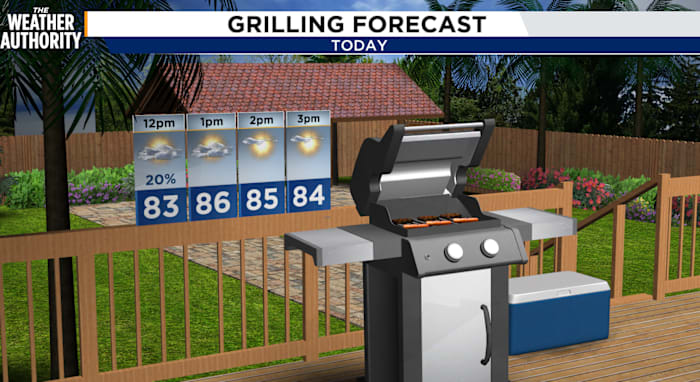
As for temperatures, Sunday stays mild with highs in the lower-to-mid 80s, but the breeze will keep things feeling cooler near the coast. Winds start to ease up late Sunday night, and early next week looks calmer with lower rip current risks.

For today, admire the ocean from a safe spot onshore. Give the surf a couple more days to settle before jumping in.

Coastal Hazard Advisories:

  • Coastal Flood – currently through 8 p.m. Monday

    • St. Johns River basin

    • Coastal Duval, Flagler, Northeast coastal St. Johns, and Southeast coastal St. Johns

  • Small Craft – currently through 11 p.m. Sunday

  • High Rip Current Risk – currently through Monday evening

    • Coastal Duval, Flagler, Northeast coastal St. Johns, and Southeast coastal St. Johns

Enjoy the low rain chances for the next 5-7 days as we transition from Summer to Fall!

Sunday Futurecast

Copyright 2025 by WJXT News4JAX – All rights reserved.

  • Tags:
  • America
  • FL
  • florida
  • forecast
  • Jacksonville
  • United States
  • United States of America
  • UnitedStates
  • UnitedStatesofAmerica
  • US
  • USA
  • weather
United States
www.europesays.com