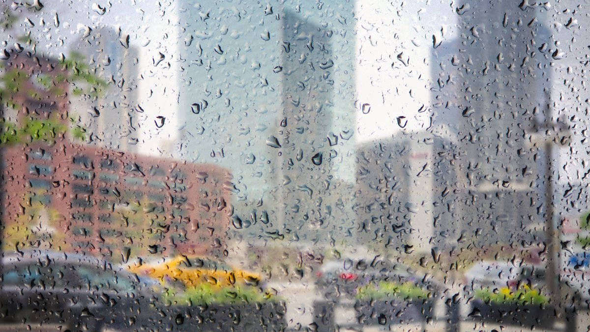
After seeing showers and storms roll through the area overnight, Chicago residents can expect more of the same for the next several days.
While Saturday isn’t expected to be a total washout, a low-pressure system slowly churning to the west will throw multiple waves of showers and thunderstorms toward the Chicago area, leading to heavy rains and potential isolated street flooding in the region, according to forecast models.
High temperatures Saturday are expected to rise into the upper-70s across much of the area, with occasional sunshine in between waves of rain.
That rain is going to stick around into the overnight hours and into Sunday morning, with continued isolated showers and storms lingering into the afternoon, according to forecast models.
High temperatures will remain in the upper-70s, setting the stage for a weather pattern that is expected to last for several days.
Most of Indiana is at a “marginal” risk of severe weather Sunday according to the Storm Prediction Center, with gusty winds the main threat of any strong storms that develop over the area.
More rain is expected in the area Monday and Tuesday as the aforementioned low-pressure system slowly arrives, and temperatures will continue to rise into the mid-to-upper 70s during the day and into the low-60s during the overnight hours.
Rain could stick around into midweek, but will become more isolated in nature, with temperatures expected to dip slightly into the low-70s for highs and into the upper-50s to low-60s overnight, according to the NBC 5 Storm Team.
By next weekend, the persistent rain will finally vacate the forecast, but not before leading to total accumulations of 1-to-2 inches across the Chicago area.