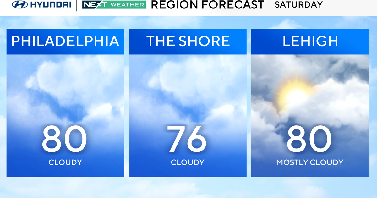
Temperatures in the Philadelphia region will start in the mid-60s Saturday morning. Clouds thicken up during the day on Saturday, and highs will reach near 80 ahead of another round of rain Saturday night into Sunday morning.

CBS News Philadelphia
Total rainfall may be .50-1.5″, although a majority of it will likely occur during the nighttime hours. Sunday will bring morning showers before partial clearing, with a high around 78. Clouds will thicken again Monday and Tuesday.
As for the tropics, Humberto is now a MAJOR Category 4 Hurricane and may likely become a Category 5 by Saturday. Models keep it from making landfall, but there is another area of interest that is likely to become Imelda and will likely have a significant impact next week in the Carolinas.

CBS News Philadelphia
It may be a strong tropical storm or low-end hurricane, but either way, it will be the first named storm to make landfall during the 2025 hurricane season.
The overall forecast calls for a strong and cool high-pressure cell heading down from the north over our area, cooling us off dramatically by Wednesday but also providing the blocking needed to keep that rain out of our area for a while.

CBS News Philadelphia
It’s still too early to tell, but this storm bears serious watching. If the high doesn’t work in, we could be talking about widespread rain next week around the Delaware Valley.
Your Next Weather Team will keep you posted.
Here’s your 7-day forecast:

CBS News Philadelphia
Saturday: Rain at night. High 80, Low 64.
Sunday: Mostly cloudy. High 78, Low 66.
Monday: Mostly cloudy. High 83, Low 64.
Tuesday: Mostly cloudy. High 77, Low 67.
Wednesday: Cooler. High 74, Low 62.
Thursday: Cool! High 67, Low 50.
Friday: Partly cloudy. High 73, Low 55.
More from CBS News
