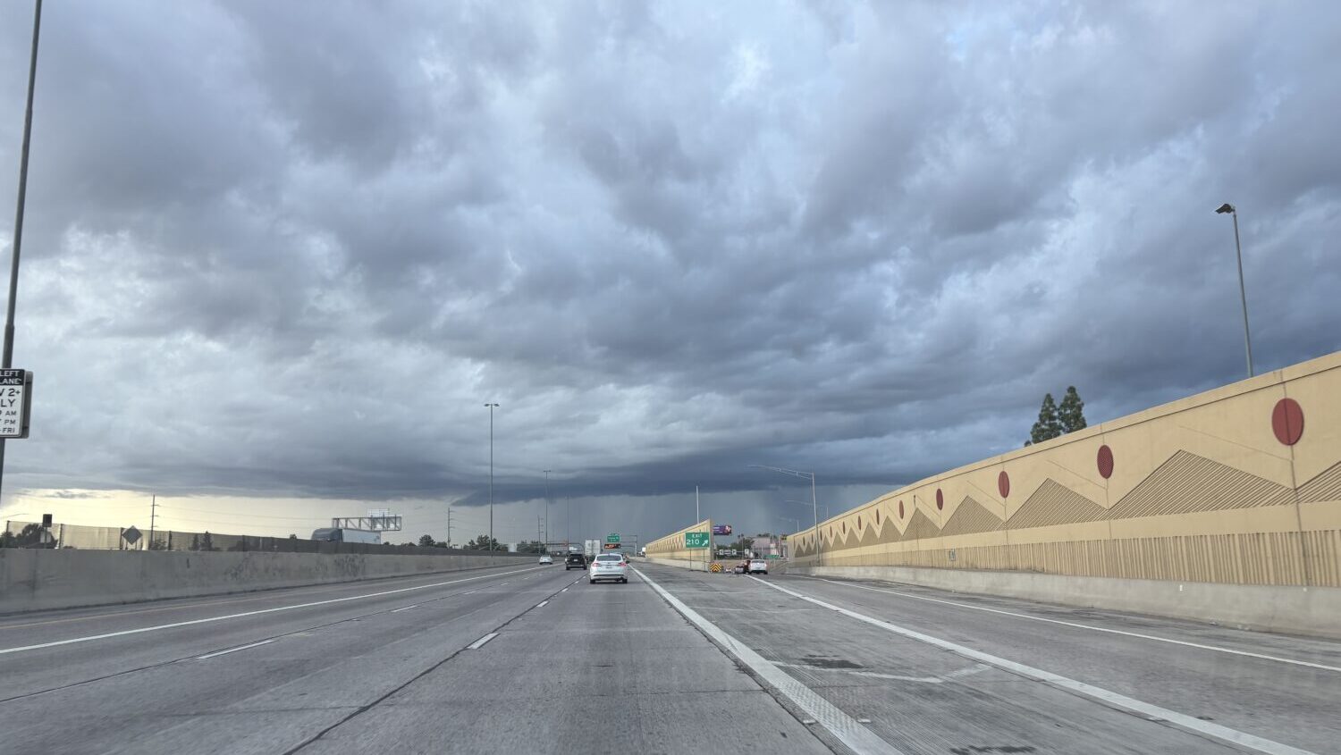
PHOENIX — Scattered showers and lightning strikes were moving through portions of Phoenix metro area on Saturday morning after the Valley was hit hard with heavy rainfall and storm activity throughout Friday.
In fact, rain and lightning could already be seen affecting southern parts of the Valley by 7 a.m. Phoenix Sky Harbor International Airport, which the National Weather Service (NWS) uses for its official readings, had received 0.07 inches of rain as of 9:40 a.m.
Isolated to widely scattered showers with embedded lightning strikes are moving into portions of the Phoenix area currently. As this activity moves across, expect a brief heavy downpour. pic.twitter.com/VIEUdkN4dn
— NWS Phoenix (@NWSPhoenix) September 27, 2025
“Currently, we have some light to locally moderate rainfall, quick-moving showers moving across the Phoenix area,” NWS meteorologist Gabriel Lojero told KTAR News 92.3 FM on Saturday morning. “However, that’s nothing compared to what we saw on Friday, where we saw widespread 1 to 2 inches with locally higher amount in some areas between 2 to 3 inches.”
According to NWS Phoenix, the intense downpours were moving westward toward southeast California and southwest Arizona where flood watches were in effect.
However, isolated and scattered thunderstorm were still a possibility for southcentral Arizona on Saturday afternoon and early in the evening.
“We should have a break later on this morning and into this afternoon,” Lojero said. “And according to the latest model guidance, potentially maybe late this afternoon to early evening, there could be some additional pop-up showers and storms. The key word once again is that it’s expected to be isolated. So not everybody is going to see any rainfall and if there’s going to be any activity, it should be pretty brief.”
How much rainfall did the Valley get during Friday’s storms?
Thunderstorms battered the Phoenix area with rain, hail and flooding on Friday, it even delayed flights.
According to Maricopa County’s Interactive Rainfall Data Map, multiple parts of the Valley received more than an inch of rain from the storms.
The area around Phoenix Sky Harbor received 2.01 and 1.30 inches of rain, while central Phoenix was hit with a total of 1.26 inches and parts of north Phoenix saw anywhere from 1.06 to 1.89 inches.
Some East Valley cities were battered with rain, as Tempe got 2.44 inches, Scottsdale collected 2.68 inches and Mesa received 1.06 inches. Meanwhile, Chandler saw 0.39 inches, Gilbert was watered with 0.20 inches and Apache Junction was scattered with 0.39 inches.
The West Valley also saw a good amount of rain, Glendale and Peoria were hit with 0.98 inches, Litchfield Park received 0.94 inches, Goodyear was scattered with 0.35 inches and Buckeye got 0.39 inches.
What does the forecast for the rest of the weekend look like?
Heading into Sunday, condition are expected to dry out across the Valley.
“After today, we should have a much needed break in terms of seeing any rainfall activity for the next several days,” Lojero said.
As far as temperature, the Phoenix metro area is expected to remain below normal for the rest of the weekend with highs staying in the 80s and not quite reaching 90 degrees.
“Then as we head into the early to middle portion of the upcoming week, we should see those temperatures gradually start to warm up once again,” Lojero said. “We do expect highs reaching up into the middle to upper 90s as we head toward the middle to later half of next week.”
KTAR News 92.3 FM’s Troy Barrett contributed to this report.
We want to hear from you.
Have a story idea or tip? Pass it along to the KTAR News team here.