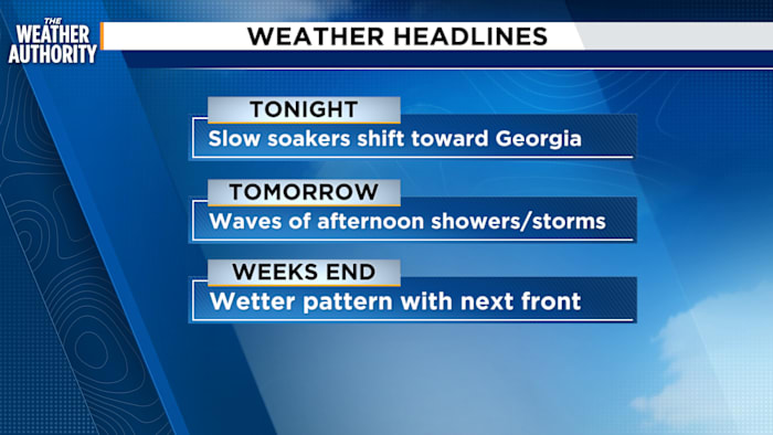
JACKSONVILLE, Fla. – Grab the umbrella and keep it handy, because The Weather Authority is tracking a soggy stretch of weather for Jacksonville and surrounding areas. Tonight, slow soakers will slowly fade well after dark. Most of this evening’s rain is expected to shift a bit away from downtown, heading toward Georgia and regions that missed heavier rainfall earlier.
If you’re outside tonight, you’ll probably notice temps dropping into the mid-70s—settling near 76 degrees by 10 p.m. A few showers could linger overnight, but things should dry out by the time the sun comes up Tuesday.
Storm chances ramp back up Tuesday afternoon
The wet weather isn’t finished yet. News4JAX’s meteorologist reports that Tuesday morning should begin mostly dry for Jacksonville. But as the day heats up, with highs expected to hit the lower 90s, storms are forecast to return after 2 p.m. Expect a 60% chance of showers and storms in the afternoon, especially affecting the northern half of the state.
Midweek brings another round of rain with shifting weather front.
Looking ahead, Wednesday brings even more widespread rain to the region midweek, with higher chances for showers and storms on both Wednesday and Thursday. By week’s end, the forecast suggests rain chances will back off just a bit—though a generally wet pattern is expected to stick around.
Here’s a quick look at what’s in store:
-
Evening storms and soaking rain tonight, shifting northward
-
Dry Tuesday morning, but storms likely return in the afternoon
-
Wetter midweek pattern as a front sweeps in Wednesday and Thursday
Copyright 2025 by WJXT News4JAX – All rights reserved.