High pressure continues to be the main weather player across the Philadelphia area, and it’s not going anywhere just yet. It’ll hang around for a few more days before gradually shifting east.
This high-pressure system is bringing warmer-than-normal temperatures to much of the eastern United States, and that includes here in the Philadelphia area. Typically, highs this time of year are around 71 degrees, but on Sunday, we’re running more than 10 degrees above that. Highs were well into the 80s.

CBS News Philadelphia
Overnight, skies will stay clear, though some patchy fog could develop overnight into early Monday morning. Monday morning itself will start off a bit cool, with lows dipping into the mid to upper 50s.
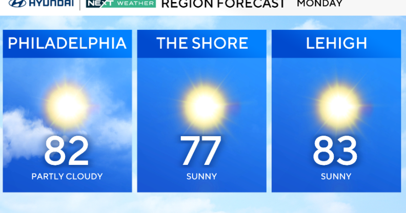
The warmer trend sticks around through Monday and Tuesday, with highs again in the low 80s. A cold front is expected to approach late Tuesday night, bringing a round of showers that could linger into Wednesday morning. At this point, we’re not expecting any severe weather or flooding concerns, but the rain — around a quarter to half an inch — will be a welcome change after our recent dry stretch.
Once that front passes on Wednesday afternoon, noticeably cooler air will start to settle in for the second half of the week.
Highs on Thursday will only reach the mid to upper 60s, even with plenty of sunshine. And by Friday morning, we’re looking at chilly lows in the mid to upper 40s before temps rebound into the upper 60s by the afternoon.

CBS News Philadelphia
Here’s your 7-day forecast:
Monday: Sunny. High 82, Low 55.
Tuesday: Still summer-like. High 81, Low 60.
Wednesday: Rain returns. High 71, Low 68.
Thursday: Chilly by comparison. High 63, Low 47.
Friday: Sunny and mild. High 68, Low 42.
Saturday: A touch milder. High 71, Low 50.
Sunday: Chance of showers. High 66, Low 54.
More from CBS News
