
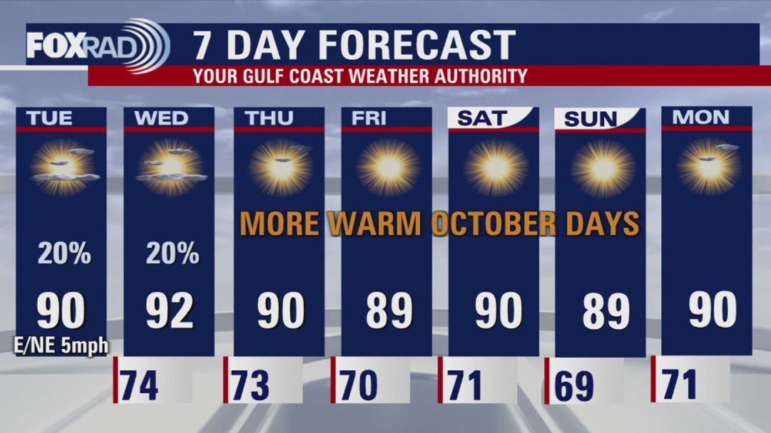
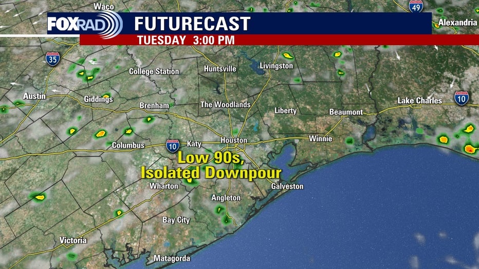
HOUSTON – Today will be another above average day with highs in the low 90s and upper 80s for Southeast Texas.
More warm temperatures and increase in moisture
Prepare for temperatures to remain warm for October for all your outdoor plans this week. Rain chances are slim. Look for a few showers for the afternoon and evening through Wednesday. An air quality alert for slightly higher ozone levels has been issued for the area Tuesday.
 Dry conditions leading to minor drought
Drought conditions are developing state and areawide and communities west of Houston are finding themselves in moderate drought conditions. Houston proper is not yet in a drought, but it is dry. Dry vegetation is leading to an increased risk for brushfires, so be very cautious with any outdoor burning until conditions change. Lower humidity values also lead to an increase in fire danger.
In the tropics 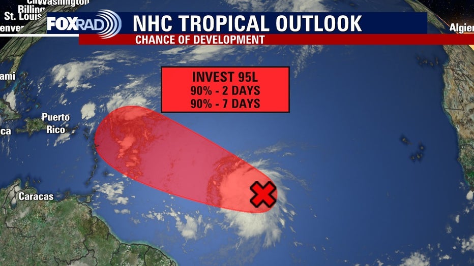
The National Hurricane Center continues to monitor a disturbance in the distant Atlantic. This tropical wave has a HIGH chance of development. This formation is very far away from us but could approach the Lesser Antilles late-week. The next name on the list is Jerry.
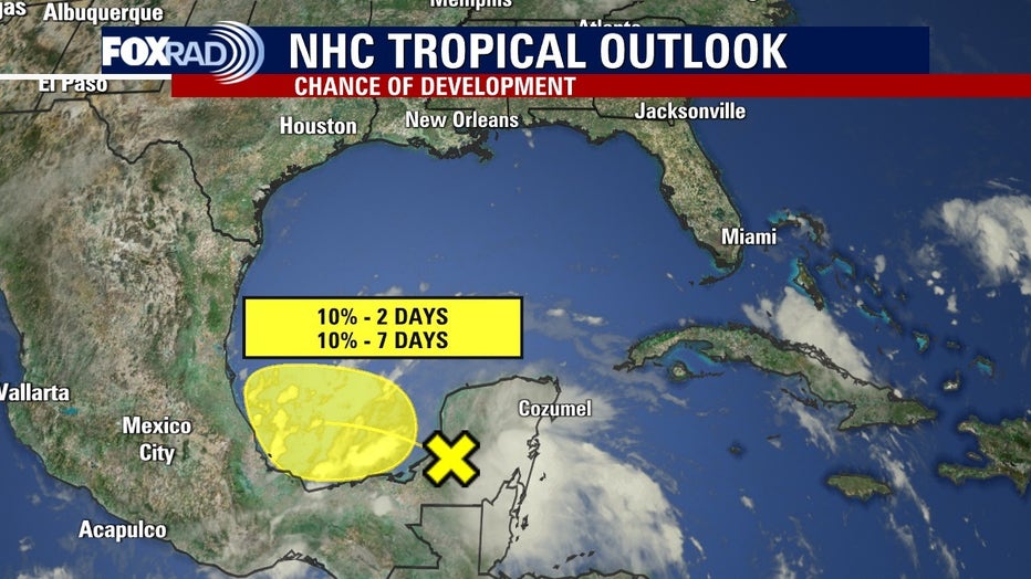
Another tropical wave has formed near the Yucatan peninsula and is expected to track into the southern Gulf Tuesday. It does not appear to be a threat to Houston but we will be watching it closely.
The Source: The information in this article comes from the FOX 26 weather team.