
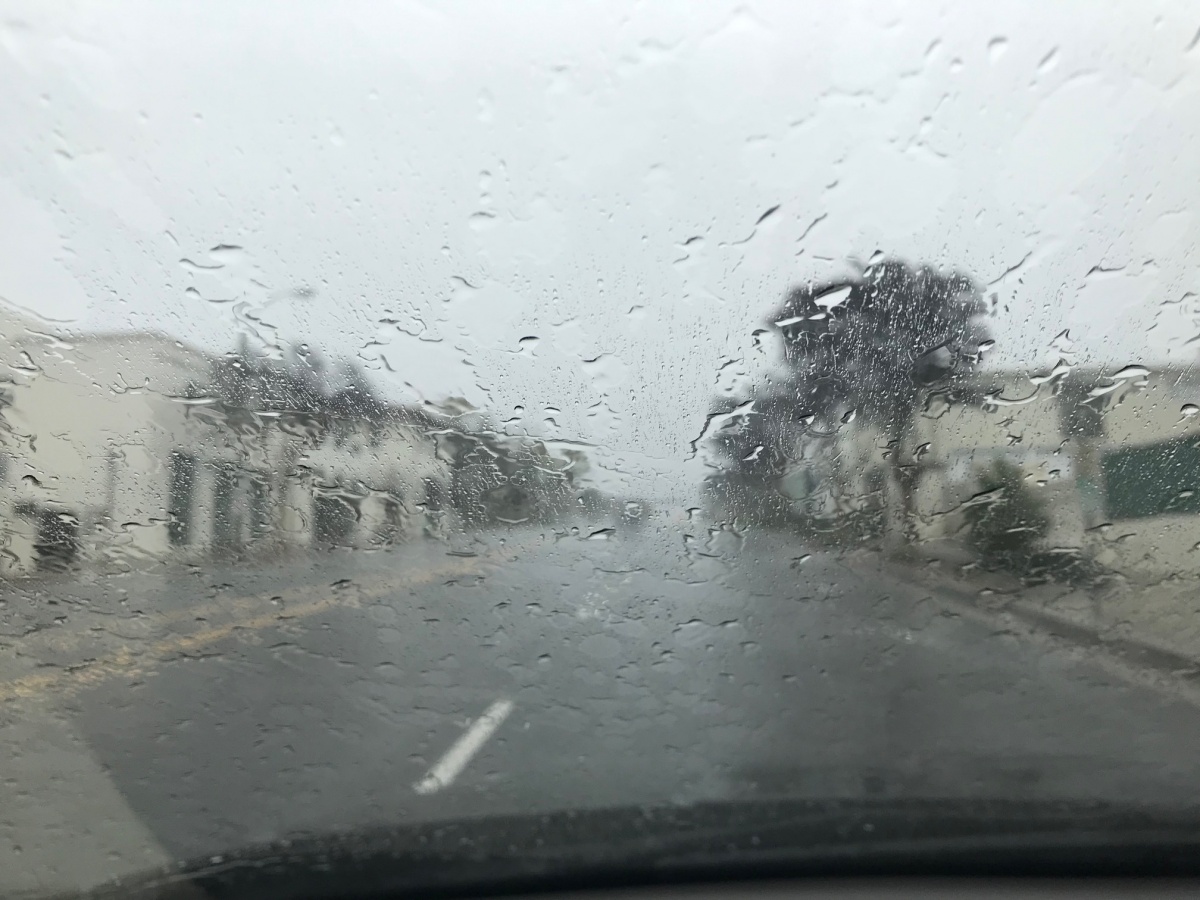
 FILE PHOTO: Steven Lawrence | SouthPasadenan.com News | Flash Flood Warnings for Los Angeles County

Weather Alert Issued: Monday night, October 13, 2025
Updated: 9:15 PM PT
Big Weather for the LA Area
A significant Pacific storm system is forecast to impact the Los Angeles Basin, including South Pasadena, Pasadena, and Altadena, beginning late Monday night and continuing through early Wednesday, October 15.
Rain will intensify overnight with the heaviest band expected between midnight and mid-morning Tuesday.
Rainfall: 0.75 – 1.5 inches in the valleys, 2 – 4 inches in the foothills.
Wind Gusts: 40 – 55 mph in exposed areas.
Flash Flood Risk: Moderate, especially near recent burn scars in the Angeles National Forest and Santa Monica Mountains.
Flood Watch: In effect for all of Los Angeles County through Wednesday morning.
Evacuation Warning: Eaton Fire Burn Area (Altadena / Pasadena)
Issued: Monday afternoon, October 13, 2025
Source: Los Angeles County Office of Emergency Management, Pasadena Fire Department, and National Weather Service
An Evacuation Warning is in effect for neighborhoods surrounding the Eaton Fire burn scar in Altadena and northeast Pasadena. The warning covers residents living near steep slopes, canyons, and runoff channels below the burned terrain. Officials warn that the area is at high risk of mud and debris flows due to heavy rain forecast through Wednesday morning.
-
Rainfall of 2–4 inches is possible in the foothills overnight, which may trigger debris flow or slope failure in the burn area.
-
The warning is precautionary but may be upgraded to a mandatory evacuation if rainfall rates intensify or debris flow begins.
-
Officials urge residents with mobility challenges, young children, or pets to consider leaving early rather than waiting for an order.
-
Pasadena Fire and LA County Fire personnel have staged extra resources nearby, including swift-water rescue and heavy equipment units.
Resident Guidance
-
If you live near Pinecrest Drive, Rubio Canyon, or upper Eaton Canyon, remain alert and prepare to leave immediately if ordered.
-
Pack essential supplies now: medications, documents, clothing, food, and pet items.
-
Move vehicles to higher ground and away from debris channels.
-
Do not attempt to drive through flowing water or mud.
-
Stay tuned to official alerts through Alert LA County, Pasadena Fire Department social channels, and local news for updates.
Current Conditions – South Pasadena (9 PM)
• Temperature: 62 °F, mostly cloudy
• Winds: light southwest at 5–10 mph
• Barometric pressure: falling
• Rain expected to begin around 12 AM, continuing off and on through Tuesday evening
What to Expect
• Heavy rain and strong gusts may cause localized street flooding, power outages, and downed branches.
• Creeks and storm channels could rise rapidly overnight.
• Foothill communities (Pasadena, Altadena, La Cañada Flintridge) may see debris flows and mudslides near burn areas.
• Morning commute impacts: flooding on 110 and 210 freeways, reduced visibility, and standing water on local roads.
Safety & Preparation
Before the storm:
• Bring inside or secure outdoor furniture, umbrellas, and lightweight items.
• Charge phones, flashlights, and backup batteries.
• Gather essentials: water, food, medications, pet supplies, and radios.
• Pick up sandbags from local fire stations if you live in flood-prone areas (details at LAFD.org/news/lafd-provides-sandbags-homeowners).
During the storm:
• Avoid unnecessary travel. Do not drive through flooded roads.
• Keep pets indoors.
• Report life-threatening emergencies to 911.
• For non-emergencies like downed trees or flooding, call 311 or visit lacity.gov/myla311.
• Report power outages to LADWP at 1-800-342-5397.
• Never run generators indoors or in garages (carbon monoxide hazard).
Sources: National Weather Service (NWS Los Angeles), City of Los Angeles Emergency Management, Los Angeles Fire Department