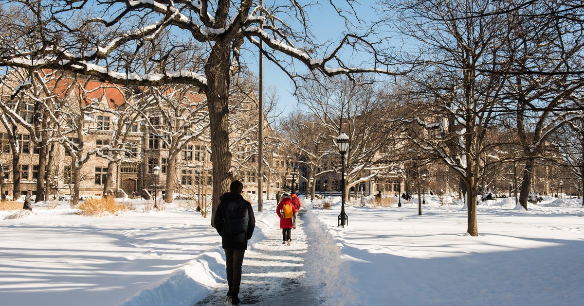
Twenty-three nights with temperatures below zero, and snow falling every other day for months; many Chicagoans remember the winter of 2013-2014 as a long and difficult one.
And there is one reason why this winter could be similar – a massive area of record-warm ocean water thousands of miles away called “The Blob.”
“The Blob,” also called a “warm blob,” is a marine heatwave featuring much warmer than normal ocean temperatures for an extended period that can have major impacts on animals, economies, and weather patterns. A recent study found that enhanced warming in the Arctic from climate change is linked to these marine heatwaves.
Average sea surface temperature across the North Pacific Ocean smashed records in August 2025, reaching a balmy 68 degrees Fahrenheit for the first time on record, according to NOAA. Reliable records date back to 1854.
The only warm blob on record that has come close to the one observed currently was from 2013-2014, leading summer fish to spawn in the dead of winter off the coast of Oregon, opening new migration routes for endangered turtles, and devastating the crab and salmon fishing industry off the West Coast.
Since the ocean and atmosphere work in concert with one another, record warm ocean temperatures on such a large scale have a big impact on global weather patterns.
A warm blob over the North Pacific often corresponds with a large area of high pressure, or a bump northward in the jet stream. Since the atmosphere likes equilibrium, where there is a large ridge, a large dip in the jet stream, or trough, often follows. This trailing dip in the jet stream during a warm blob event typically bisects the U.S., driving outbreaks of Arctic air and massive snowfall events into the Chicago area and Upper Midwest.

This is what led to Chicago’s third-coldest winter on record in 2013-2014, with temperatures from December through February averaging a frigid 18.8 degrees Fahrenheit. The typical average is 27.7 degrees. February temperatures alone were more than 11 degrees below normal.
From Dec. 1, 2013 through Feb, 10, 2014, snow fell in Chicago nearly every other day —– something the Romeoville National Weather Service Office called “astonishing regularity.” Nearly three feet of snow fell in January, and winter totals reached 67.4 inches. An average winter brings 29.6 inches.
There was at least one inch of snow on the ground at Chicago O’Hare from Jan. 18 through Mar. 10, a 52-day streak and the city’s 11th-longest on record. Nearby Rockford had what the National Weather Service called an “incredible streak of snow cover” lasting 93 days from Dec. 9 through Mar. 11, their third-longest on record.
La Niña conditions in place as of October also favor a Great Lakes storm track and can lead to colder, snowier winters in Chicago. In addition to similar warm blob conditions, the current weak La Niña phase also mirrors what we saw heading into winter 2013-2014.
Though less significant warm blob events were observed in the winters of 1990-1991, 2004-2005, 2010-2011 and 2021-2022, the only other times the warm blob coincided with a La Niña pattern were in 2010-2011 and 2021-2022. The winter of 2010-2011, featuring a strong La Niña, was Chicago’s 10th-snowiest on record with 56.3 inches of snow. The winter of 2021-2022, with a moderate La Niña, featured near-normal snowfall of 28.6 inches.
While the significant warm blob event tilts Chicago’s odds toward a snowier than normal winter to come, other factors could influence how much snow the city receives.
As the climate changes, winter is Chicago’s fastest-warming season. Overall winter temperatures have risen 3.5 degrees Fahrenheit since 1990, which can turn a borderline snow event into sleet or rain instead.
Record warm Lake Michigan water temperatures this autumn could enhance lake effect snow events early in the winter season, but also keep some lakeside communities above freezing.
