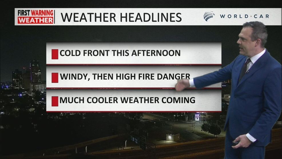
SAN ANTONIO – A powerful cold front is moving through the area this afternoon, bringing a dramatic change to the weather.
Temperatures are climbing into the mid to upper 80s this morning, with San Antonio reaching a high of 88 degrees around 1–2 p.m. before the front arrives. Winds will shift to the north, gusting above 30 mph, and humidity will drop sharply behind the front, creating dry and breezy conditions.
CLICK HERE for our interactive radar
These conditions have prompted a Fire Weather Watch for much of the viewing area. Fire danger ranges from moderate in western zones to high and very high along the I-35 corridor, with portions of the eastern zone — including the coast — facing extreme fire danger.
The cold front will bring little to no rain, but temperatures will plunge quickly. By late Tuesday night and early Wednesday morning, readings will fall into the 50s, with a crisp, fall-like feel. Wednesday’s highs will struggle to reach the upper 60s to low 70s, and by Wednesday night into Thursday morning, temperatures will dip into the 40s in San Antonio and even the upper 30s in the Hill Country.
Skies will clear after the front passes around 3 p.m., leaving drier, sunnier weather behind. Thursday and Friday will remain mild, with highs in the low 70s for Thursday and mid-70s for Halloween, making trick-or-treating comfortable under sunny skies. The weekend will see slightly warmer temperatures, climbing into the upper 70s to near 80 degrees.
Residents are advised to stay alert to fire weather conditions, secure outdoor flammables, and plan accordingly for the significant temperature drop and gusty winds this week.
CLICK HERE to send us your weather photos and video.